What is recorded here
Situated in an undulating landscape. This is a sub-rectangular graveyard (c. 35m x c. 66m) surrounded by a stone wall containing the remains of a church (ME023-015----). The head of a high cross (ME023-022----) was formerly incorporated in the roadside wall at the entrance together with a number of architectural fragments (ME023-015002-); there is no visible trace of the former.
Compiled by: Paul Walsh
Date of upload: 9 October 2012
Amended: 31 July, 2014
Christian graveyard, medieval period; associated with a church and high cross, indicating a site of religious and community significance in the medieval landscape.
This remains an important historical record, but the official description says the monument is no longer visible or has been destroyed. The monument record does not grant public access. Check the route and ask the landowner before entering private land.
- What survives
- No visible remains or recorded as destroyed
Places near here
 Old ChurchChurch · 21 yd
 Cross (part of)Cross, High cross · 37 yd
 St. Margaret's Church Girley (C of I) site ofArchaeological place · 173 yd
 Causey FarmHeritage attraction · 257 yd
 FarmaphobiaHeritage attraction · 282 yd
 CastleCastle, motte · 385 yd
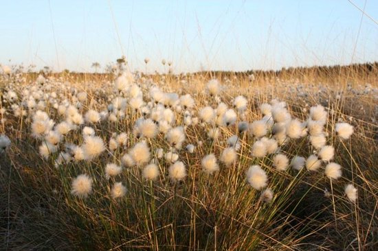 Native Woodland Trust: Girley Bog ReserveWood · 608 yd
 Catholic Church of the Immaculate Conceptionchurch/chapel · 676 yd
 Girley WoodWood · 892 yd
 BoglandMemorial · 1203 yd
 Drewstown LittleMountain / peak · 1.5 mi
 CloncatMountain / peak · 1.5 mi