What is recorded here
On gentle NE-facing slope in rolling terrain, just off the crest of a hill. Tillage to NE, otherwise pasture. Very overgrown graveyard defined by a rectangular enclosure (dims 24m N-S; 30m E-W) which is indicated on the 1st and 2nd ed. OS 6-inch map. The current wall appears to be of concrete or may be a concrete render of an earlier wall. There is a gate and stile at the E end of the N wall with a date of 1949 incised in the wall. The headstones, which are mostly in the former church interior or immediately S of the former church, are mostly 19th or early 20th century in date. The latest headstone dates to 1960. There is a 20th-century calvary mount in the NE quadrant of the graveyard and a pillar memorial to Leonard Keating immediately S of the SE end of the church.
Compiled by: Jean Farrelly
Date of upload: 26 August 2011
The monument record does not grant public access. Check the route and ask the landowner before entering private land.
- What survives
- Recorded monument
Places near here
 Garranlea Church (in ruins)Church · 7 yd
 Bawn in GarranleaBawn · 81 yd
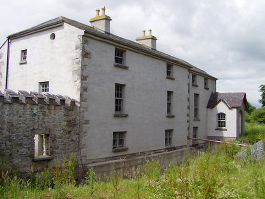 Mill Housemill (water) · 1254 yd
 Ecclesiastical enclosure in MasterstownEcclesiastical enclosure · 1484 yd
 Boytonrath Castle (in ruins)Castle, unclassified · 1.1 mi
 LisheenEnclosure · 1.2 mi
 Athassel PrioryHeritage attraction · 3.2 mi
 Caucasian zelkovaCaucasian zelkova · 4.0 mi
 Cappa WoodWood · 4.8 mi
 Caher AbbeyHeritage attraction · 5.0 mi
 Slieveanard NE TopMountain / peak · 5.2 mi
 SlieveanardMountain / peak · 6.0 mi