What is recorded here
Located towards the top of the E and S-facing slope of a drumlin. The parish church of Killinkere is conserved within a subcircular graveyard (dims c. 52m E-W; c. 42m N-S) defined by a drystone wall which is replaced by a masonry wall where it borders a farm lane S-W. The graveyard has headstones dating from c. 1720 to c. 1960 including a fine collection of eighteenth century slate headstones.
Compiled by: Michael Moore
Date of upload; 18 March 2020
The monument record does not grant public access. Check the route and ask the landowner before entering private land.
- What survives
- Recorded monument
Places near here
 Church (in Ruins)Church · 12 yd
 Tober UltanHoly well · 788 yd
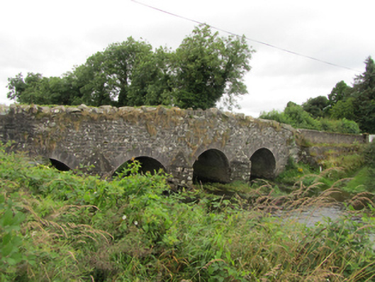 Killinkere Bridgebridge · 893 yd
 Cross in CorratinnerCross · 997 yd
 Doon Wet WoodlandWood · 1688 yd
 Beagh GlebeMountain / peak · 1.0 mi
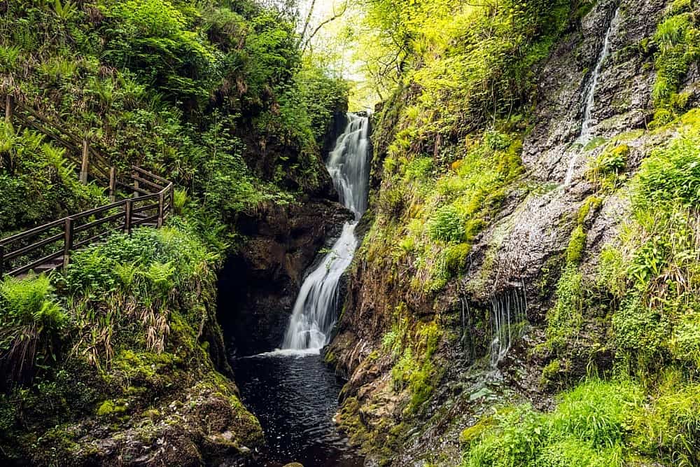 Annagharnet North ForestForest · 1.4 mi
 Carraig-na-SasanacNamed rock · 1.4 mi
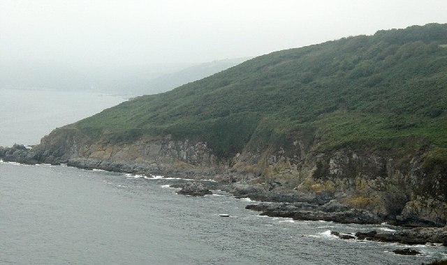 Black RockMountain / peak · 1.5 mi
 Birthplace of General Philip SheridanMemorial · 1.5 mi
 The Big Man's GraveArchaeological place · 1.6 mi
 Welcome to VirginiaVisitor information · 3.6 mi