
What is recorded here
Located towards the top of the E and S-facing slope of a drumlin. The parish church of Killinkere is conserved within a subcircular graveyard (dims c. 52m E-W; c. 42m N-S) defined by a drystone wall which is replaced by a masonry wall where it borders a farm lane S-W. The graveyard has headstones dating from c. 1720 to c. 1960 including a fine collection of eighteenth century slate headstones. Kilinkerre was one of the parishes impropriate to the Benedictine abbey of Fore (WM004-035010-) (Kelly 2017, 76), and the church is first mentioned in 1406 (Davies 1948, 98). The remains consist of the foundations of a rectangular structure (ext. dims 18.55m E-W; 8m N-S; int. dims 12.55m E-W; 5.95m N-S) defined by the foundations of external walls (Wth c. 1m; int. H 0.2-0.8m). No doorways or other architectural features are present, apart from evidence of a mausoleum (int. dims 5.9m N-S; 3.15m E-W) separated from the nave by cross-wall at its W end. The conserved W gable survives entire with a small window beneath the apex, and the springing of the vault of the mausoleum is evident on the inner face of the wall. A face corbel is now built into the gable below the window embrasure.
The above description is derived from the published 'Archaeological Inventory of County Cavan' (Dublin: Stationery Office, 1995). In certain instances the entries have been revised and updated in the light of recent research.
Date of upload: 22 December 2008
Revised by: Michael Moore
Date of revised upload; 18 March 2020
A local church or high cross; wider significance not recorded.
The monument record does not grant public access. Check the route and ask the landowner before entering private land.
- What survives
- Recorded monument
Places near here
 Tober UltanHoly well · 796 yd
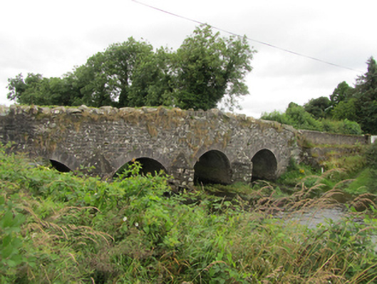 Killinkere Bridgebridge · 890 yd
 Cross in CorratinnerCross · 995 yd
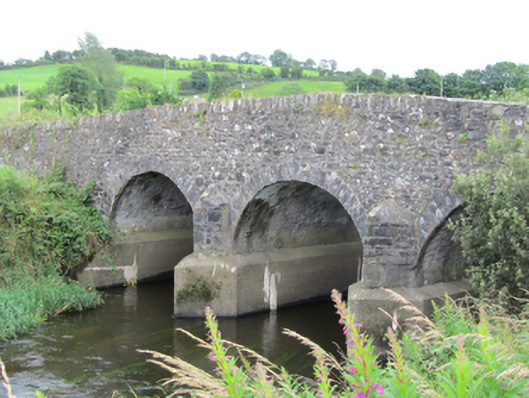 Stramaquerty Bridgebridge · 1563 yd
 Doon Wet WoodlandWood · 1698 yd
 Beagh GlebeMountain / peak · 1.0 mi
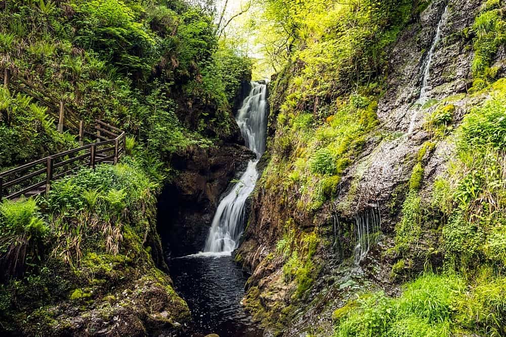 Annagharnet North ForestForest · 1.4 mi
 Carraig-na-SasanacNamed rock · 1.4 mi
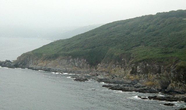 Black RockMountain / peak · 1.5 mi
 Birthplace of General Philip SheridanMemorial · 1.5 mi
 The Big Man's GraveArchaeological place · 1.6 mi
 Welcome to VirginiaVisitor information · 3.6 mi
Other information
Photo: Credit not shown in the picture search · Rights wording not checked; contact us if this picture should be removed