What is recorded here
In level area of improved pasture. No visible surface trace. It is named 'Grave Yard' on the 1st (1840) ed. OS 6-inch map and is depicted as a roughly circular area (diam. c. 17m from OS 6-inch map), defined cartographically by a dashed line which implies the area was not physically enclosed. According to Flanagan (1930, vol. 3, 117) there was 'formerly an old burial ground in the Townland of Friar's Field (alias Bomberry's Walk) in a field called Cnocán na h-Adhairce, but it has not been used in the memory of anyone now living.' A possible church (TS059-112010-) and enclosure (TS059-112011-) are c. 50m to N. The field is called 'Knockannahoirky Field' on the 1st (1840) ed. OS 6-inch map.
Compiled by: Jean Farrelly
Date of upload: 26 August 2011
The monument record does not grant public access. Check the route and ask the landowner before entering private land.
- What survives
- Recorded monument
Places near here
 Garranacanty MoatArchaeological place · 904 yd
 Enclosure in FriarsfieldEnclosure · 1053 yd
 Friarsfield Househouse · 1108 yd
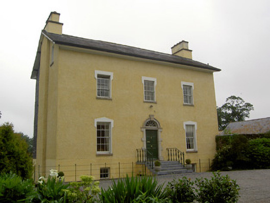 The Gleberectory/glebe/vicarage/curate's house · 1640 yd
 European ashEuropean ash · 1.0 mi
 CastleCastle, ringwork · 1.2 mi
 I.R.A. 3rd. Tipperary Brigade MemorialMemorial · 1.2 mi
 Old CastleRuins · 1.2 mi
 It's a long way to TippereryHeritage attraction · 1.8 mi
 The Maid of ErinMemorial · 2.0 mi
 The RockViewpoint · 3.7 mi
 Christ the KingViewpoint · 4.4 mi