What is recorded here
In an area of undulating grassland and rock outcrop. This poorly preserved unenclosed burial ground is roughly subrectangular (35m N-S; 30m E-W) in plan. Slight traces of a low bank of earth and stone at W may be the remains of a N-S running field boundary. Burials are concentrated in the NW sector, where numerous small uninscribed set stones indicate graves aligned E-W. Possibly a children's burial ground.
Compiled by: Galway Archaeological Survey, UCG
Date of upload: 16 March 2020
The monument record does not grant public access. Check the route and ask the landowner before entering private land.
- What survives
- Recorded monument
Places near here
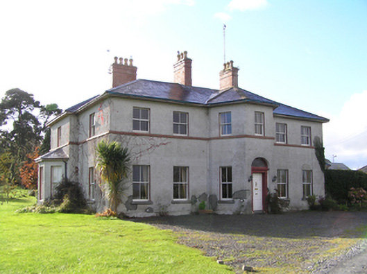 Tullyhouse · 906 yd
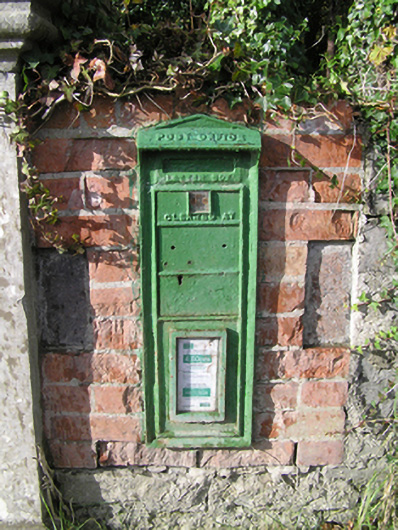 post boxpost box · 1075 yd
 Enclosure in Derry (longford By.)Enclosure · 1526 yd
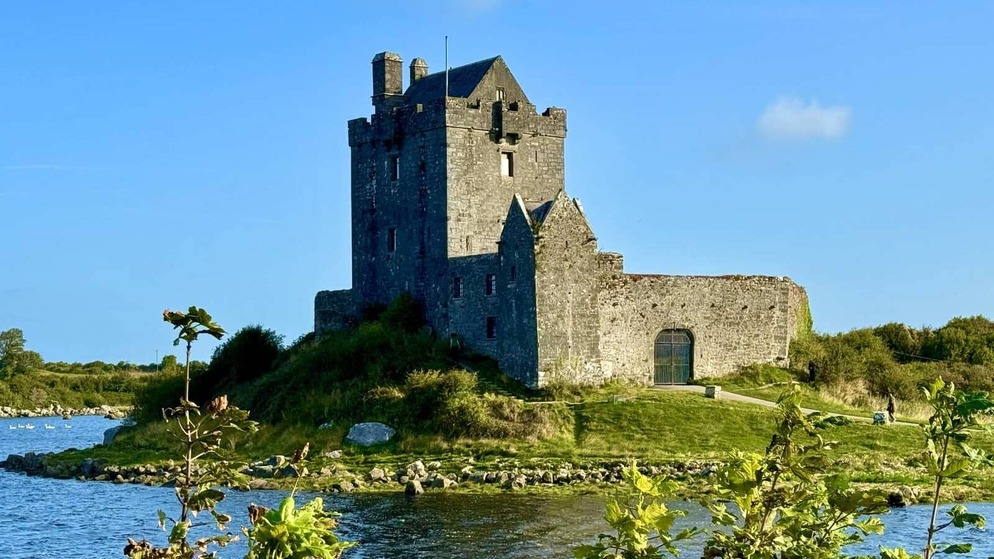 Killenehy FortArchaeological place · 1.6 mi
 Redmond HillMountain / peak · 1.8 mi
 Silver FirSilver Fir · 2.3 mi
 Ballymore CastleCastle, tower house · 2.3 mi
 Longford Castle (in ruins)Castle, unclassified · 2.9 mi
 Ballymacegan IslandIsland · 3.7 mi
 European ashEuropean ash · 3.8 mi
 Friars IslandIsland · 3.8 mi
 MeelickVisitor information · 4.0 mi