What is recorded here
Situated in undulating pasture, on the S side of the Athlone-Mullingar railway line, with very good views to S. Depicted on the 1837 ed. OS 6-inch map as a roughly oblong-shaped area (approx. dims. 68m WNW-ESE; 40m NNE-SSW) defined by a perforated line, annotated ‘Grave Yard’. Depicted on the revised 1910 ed. OS 25-inch map as a much larger subrectangular-shaped enclosure (approx. dims. 108m WNW-ESE; 68m NNE-SSW) covering 1.5 acres, abutting a railway line to N. According to O’Donovan (OSNB 1837 No. 2, 13), this was ‘formerly used as a common graveyard, but now only used for children who die prior to baptism,’ i.e. a children’s burial ground (WM030-087001-).
Monument described in 1979 as a roughly rectangular-shaped mound defined by an artificial scarp of earth and stone. The limits of the scarp are difficult to define except where it incorporates some large stones. There are a number of irregular linear formations of steadfast stones in the SW quadrant and a number of other set stones possibly forming a wall (T 1.1m) that extends out in a southerly direction. There are also some large boulders in the centre of the site. Much of the interior is covered by a growth of tall, dense grasses and weeds. A bullaun stone (WM030-087002-) is reputed to exist within the site. Monument is visible todayas a raised oblong-shaped earthwork within a large, raised irregular oval-shaped earthwork on Digital Globe aerial photography.
Compiled by Alison McQueen, Vera Rahilly and Caimin O’Brien.
Date of upload: 09 November 2019
The monument record does not grant public access. Check the route and ask the landowner before entering private land.
- What survives
- Recorded monument
Places near here
 Ecclesiastical enclosure in FassaghEcclesiastical enclosure · 1 yd
 Dotted outlineFairy fort / earthen ringfort · 904 yd
 TullymagawlyBawn · 1579 yd
 Church in Glen (clonlonan By.)Church · 1.1 mi
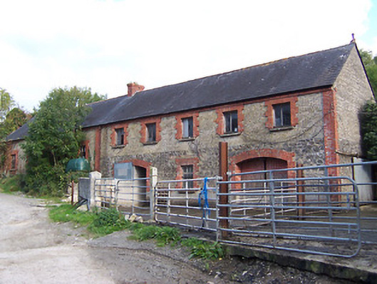 Glynnwood Houseoutbuilding · 1.1 mi
 CastleCastle, ringwork · 1.3 mi
 Dún na SíMuseum · 3.2 mi
 Dún na Sí Heritage CentreMuseum · 3.3 mi
 European ashEuropean ash · 3.4 mi
 Charles BianconiMemorial · 3.9 mi
 Long IslandIsland · 4.5 mi