What is recorded here
In 1840 the Ordnance Survey recorded that the ruins of Fanningstown Church (LI022-043002-) 'lie in the north side of the graveyard' (OSNB, 698-9). Present remains consist of a rectangular-shaped graveyard (approx. dims. 32m N-S x 47m E-W) enclosed by a post-1700 stone wall. Graveyard enclosing element depicted on the first ed. OS 6-inch map with curving boundary from N-E-SSE and elsewhere by a straight field boundary. The oldest memorial belongs of Denis Hogan who died in 1785 (O'Kelly 1943, 224).
Compiled by: Caimin O'Brien
Date of upload: 03 January 2019
The monument record does not grant public access. Check the route and ask the landowner before entering private land.
- What survives
- Recorded monument
Places near here
 Church (in ruins)Church · 13 yd
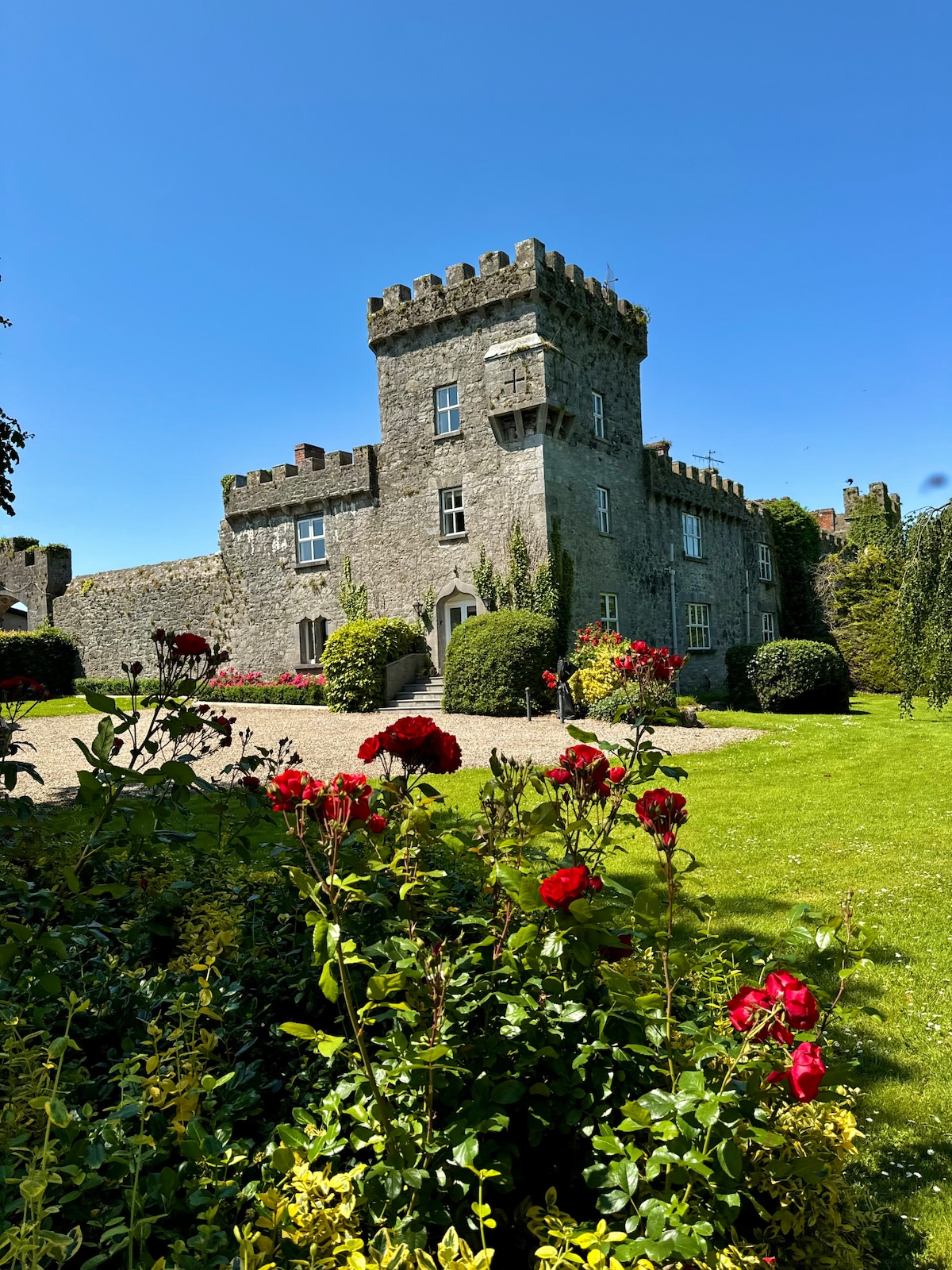 Enclosure in Fanningstown (smallcounty By.)Enclosure · 787 yd
 Partially indicatedBawn · 845 yd
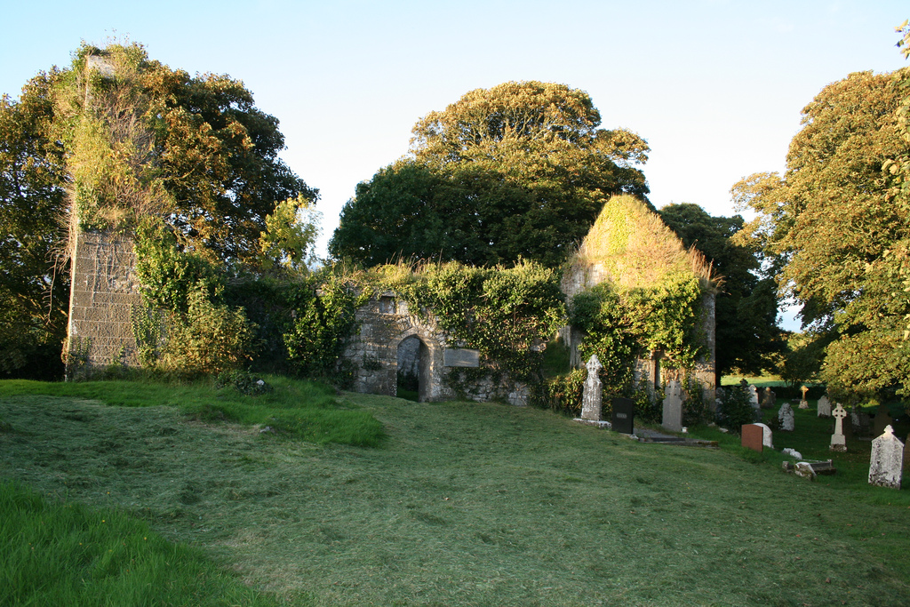 Enclosure in Boherload,carnaneEnclosure · 1154 yd
 Cloghane Bridgebridge · 1203 yd
 Carnane RockNamed rock · 1426 yd
 Bawn in Raheen (clanwilliam By., Roxborough Ed)Bawn · 1.0 mi
 ToberauillinSpring · 1.1 mi
 Villiers WellSpring · 1.6 mi
 Skool HillMountain / peak · 2.5 mi
 Monasteranenagh AbbeyHeritage attraction · 5.1 mi
 Grange Stone CircleArchaeological place · 5.2 mi