What is recorded here
Circular area (int. diam. 54m) enclosed by a well-built drystone wall which appears to have been erected on an earlier rampart. Original entrance not recognisable. A blocked-up holy well occurs inside the wall at NE (CV024-037003-). Believed locally to be a famine graveyard. (Davies 1948, 98)
The above description is derived from the published 'Archaeological Inventory of County Cavan' (Dublin: Stationery Office, 1995).
From the National Monuments Service (Archaeological Survey of Ireland) record CV024-037001
The monument record does not grant public access. Check the route and ask the landowner before entering private land.
- What survives
- Recorded monument
Places near here
Photo credits
- National Inventory of Architectural Heritage
- NTF30, Wikimedia Commons · CC BY-SA 4.0
- Sarah777 at English Wikipedia, Wikimedia Commons · Public domain
- Algirdas at Lithuanian Wikipedia, Wikimedia Commons · Public domain
- Christian Pirkl, Wikimedia Commons · CC BY-SA 3.0 at
- Adam Simpson, Geograph · CC BY-SA 2.0
- Peter Gerken, Geograph · CC BY-SA 2.0
Holy Well18 ydCorrMountain / peak · 682 yd Corr HouseCountry house · 957 ydpost box1320 ydCornafean gfcMemorial · 1680 ydKillykeen Forest ParkForest · 3.3 miLough OughterLake and island landscape · 3.3 miCourt tomb in GartnanoulCourt tomb · 3.4 miPedunculate Oak3.6 miSycamore4.0 miClogh Oughter CastleCastle, Anglo-Norman masonry castle · 4.5 miRambling at Farnham EstateVisitor information · 5.2 mi
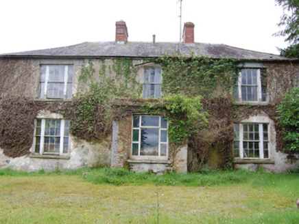 Corr HouseCountry house · 957 yd
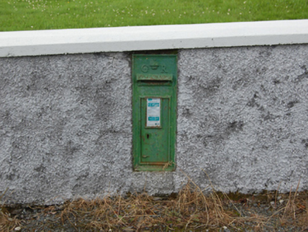 post box1320 ydCornafean gfcMemorial · 1680 yd
 Killykeen Forest ParkForest · 3.3 mi
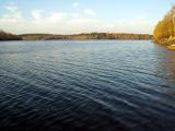 Lough OughterLake and island landscape · 3.3 mi
 Court tomb in GartnanoulCourt tomb · 3.4 mi
 Pedunculate Oak3.6 mi
 Sycamore4.0 mi
 Clogh Oughter CastleCastle, Anglo-Norman masonry castle · 4.5 mi
 Rambling at Farnham EstateVisitor information · 5.2 mi
More archaeology and monuments in County Cavan · All of County Cavan
What do you know about this place?