
What is recorded here
Situated in a gentle SE-facing slope overlooking rolling pasture. The site is an irregularly shaped area enclosed by a mortared stone wall (H c.1m). The church (LI013-052001-), orientated E-W is located in the N half of the graveyard on an embankment area, oval in plan, and orientated NE by SW. The wall to the N roughly respects the line of the embankment, while the other walls enclose an area greater than that of the embankment. The graveyard is still in use.
The monument record does not grant public access. Check the route and ask the landowner before entering private land.
- What survives
- Recorded monument
Places near here
 Donaghmore Church (in ruins)Church · 13 yd
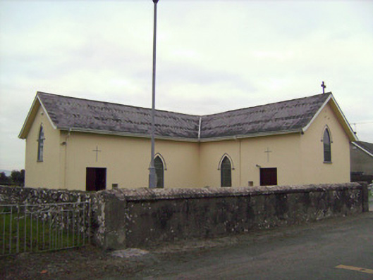 Saint Patrick's Catholic Churchchurch/chapel · 96 yd
 Castle (in ruins)Castle, tower house · 1001 yd
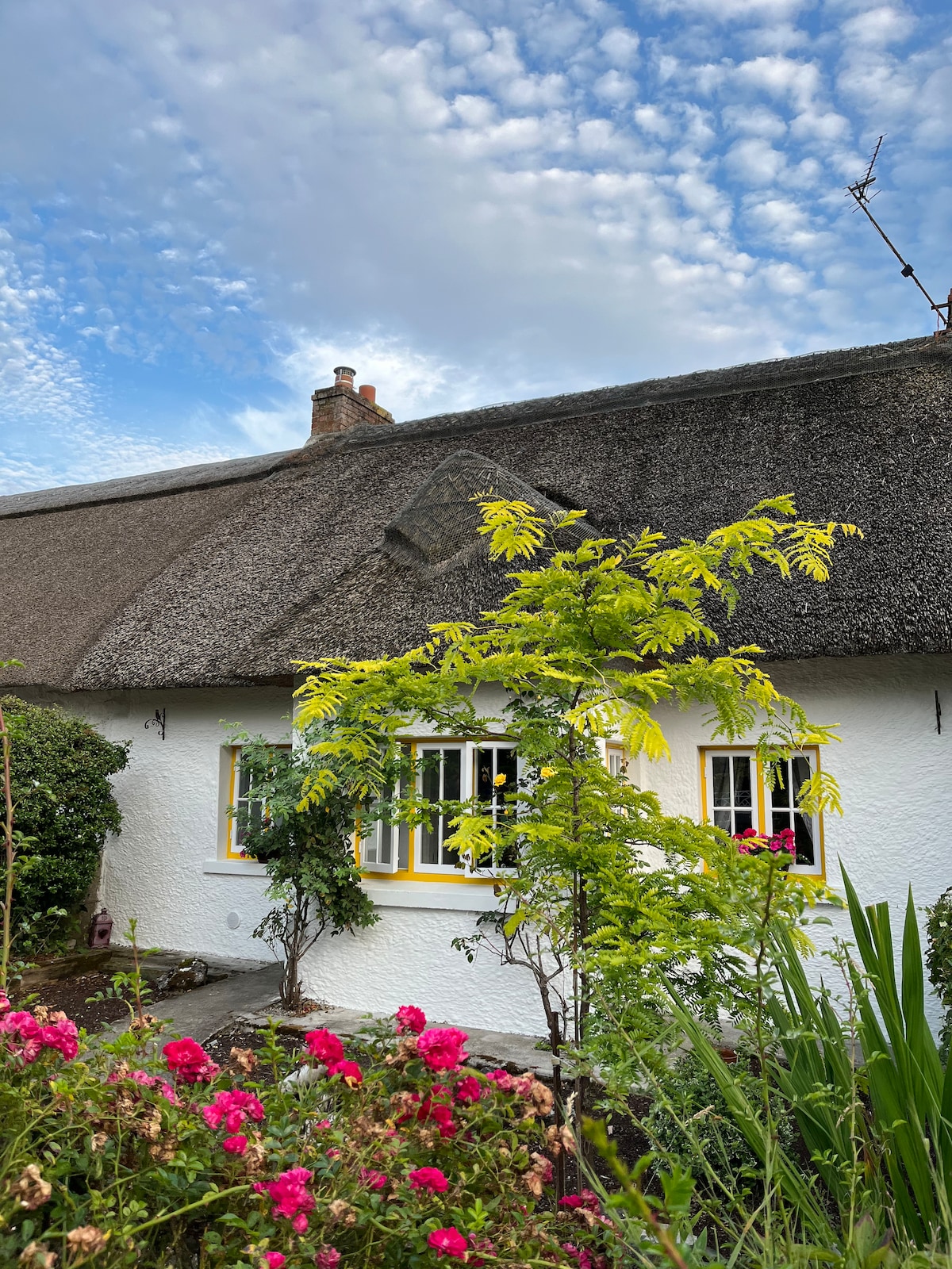 Habitation site in Banemore (clanwilliam By.)Habitation site · 1100 yd
 Browns StoneBurial ground · 1491 yd
 CastleCastle, ringwork · 1756 yd
 Sarsfield Memorialmonument · 2.3 mi
 Limerick War MemorialMemorial · 2.5 mi
 Saint John Paul IIMemorial · 2.7 mi
 Visitor CentreVisitor information · 2.7 mi
 Campus MapVisitor information · 2.7 mi
 Fountain SculptureHeritage attraction · 2.7 mi
Other information
Photo: Credit not shown in the picture search · Rights wording not checked; contact us if this picture should be removed