
What is recorded here
From the National Monuments Service (Archaeological Survey of Ireland) record TS077-027004
Places near here
Photo credits
- Maker not stated on source page, en.wikipedia.org
- Aerchasúr, Wikimedia Commons · CC BY-SA 4.0
- Maker not stated on source page, commons.wikimedia.org
- Maker not stated on source page, www.wikidata.org
- Maker not stated on source page, ru.pinterest.com
- National Inventory of Architectural Heritage
- Clerihan Parish and GAA Club Committee / Our Fundraiser; individual photographer not named, www.ourfundraiser.ie
- Algirdas at Lithuanian Wikipedia, Wikimedia Commons · Public domain
- Golfing in Ireland; photographer not stated, Source publisher
- Maker not stated on source page, au.pinterest.com
- Maker not stated on source page, fi.pinterest.com
 Site of ChurchChurch · 7 yd
Explorer Tom Site of Church in Donaghmore has a retirement plan that involves becoming pig stables, courtesy of a parson who hated…
 Church (in Ruins)Church · 24 yd
Explorer Tom Church in Donaghmore is standing on top of a hill looking very smug about it. Someone wrote a truly terrible poem about…
 Fairy fort / earthen ringfort in Ballincor (colman Par.)Fairy fort / earthen ringfort · 1143 yd
Explorer Tom Fairy fort / earthen ringfort in Ballincor would cope on a reality show by refusing to remove its scrub for the…
 Fairy fort / earthen ringfort in DonaghmoreFairy fort / earthen ringfort · 1239 yd
Explorer Tom Fairy fort / earthen ringfort in Donaghmore refuses to fall down because it’s too stubborn to admit it’s just a big…
 Fairy fort / earthen ringfort in JossestownFairy fort / earthen ringfort · 1457 yd
Explorer Tom Fairy fort / earthen ringfort in Jossestown has a feud with the rain that’s been going on for centuries, judging by how…
 Knockeevan HouseGate lodge · 1635 yd
Explorer Tom Knockeevan House gate lodge has ornate piers that look like they’re posing for a portrait. It’s disused now, but I bet…
 Lisronagh CemeteryGraveyard · 1683 yd
Explorer Tom Lisronagh Cemetery would survive a zombie attack by simply closing its gate and hoping nobody remembers where the exit…
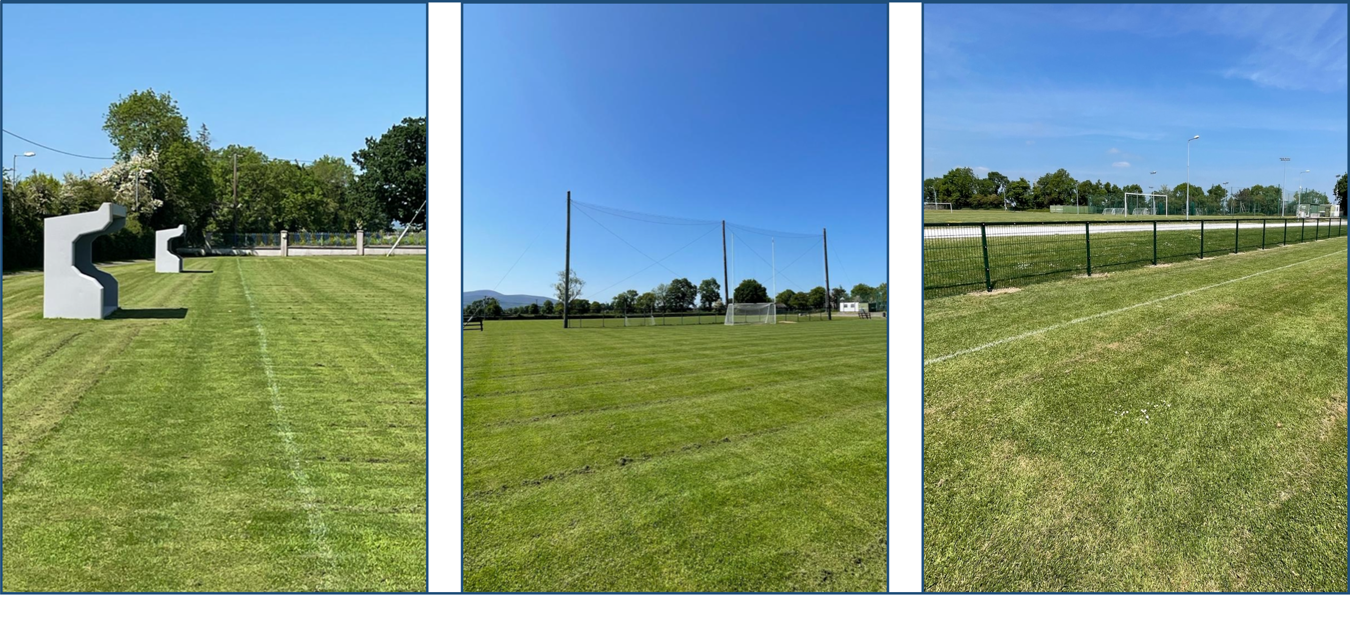 Clerihan GAA pitchGAA ground · 1.0 mi
 Pedunculate Oak1.1 mi
Explorer Tom This Pedunculate Oak in County Tipperary has decided its New Year's resolution is to stop dropping leaves so messily…
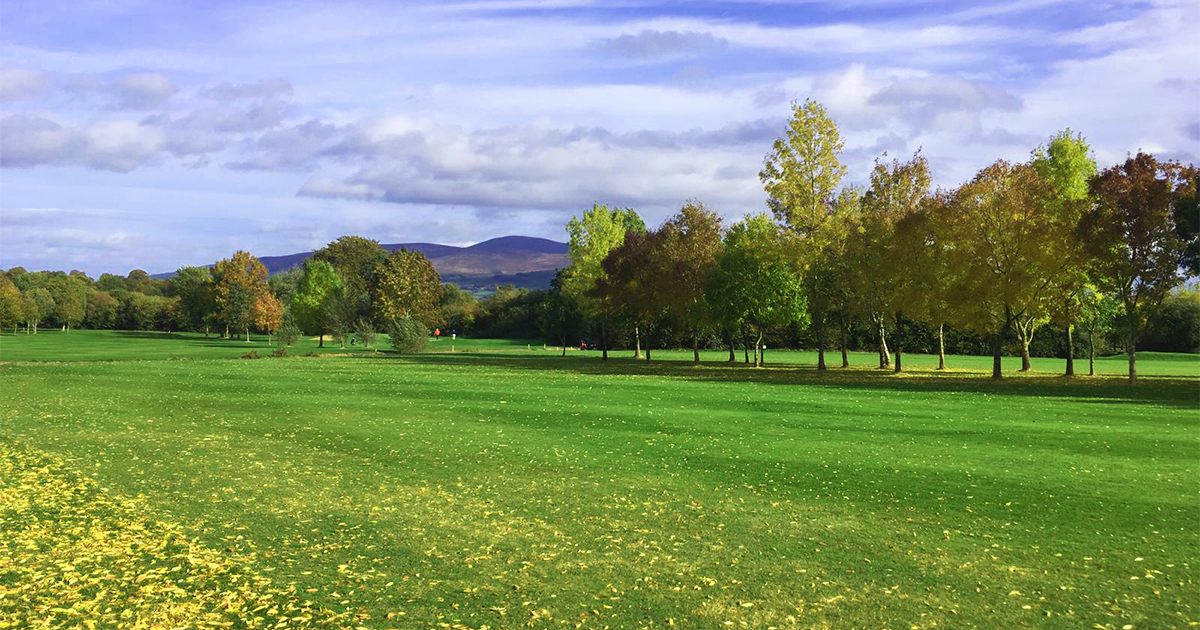 Slievenamon Golf ClubGolf course · 1.3 mi
 CastleCastle, unclassified · 1.5 mi
Explorer Tom Castle in Clonacody would describe itself to a stranger as 'a bit of a mess with some historical baggage attached'. It…
 Site of CastleCastle, unclassified · 2.2 mi
Explorer Tom Site of Castle in Mocklerstown thinks Dublin tourists are all about selfies and no actual looking. It’s completely…
More archaeology and monuments in County Tipperary · All of County Tipperary

What do you know about this place?Tap to add a comment or ask a question