What is recorded here
That is the shape of a living region: a visible oval, a central chamber, a western burial area and an eastern boundary. The grave markers occupy a small raised rectangle beside the church ruins, while the wider oval contains the church, the bank, the scarp, the rock outcrop and the cairn. The missing part is not a fact about you; it is the absence of a picture for the whole regional chamber.
Adjacent to farmyard, 50m NW of road; roughly oval-shaped graveyard (c. 40m E-W; c. 20m N-S) with ruins of church (CO074-01002-) approximately at centre. Gravemarkers (low, uninscribed H c. 0.4m) confined to subrectangular raised area (12.2m E-W: 6m N-S; max. H 0.6m) immediately to W of church; defined to E, S and W by stone-faced scarp, undefined to N. Graveyard defined to N by arc of low earthen bank (int. H 0.2m; ext. H 0.5m); to E by natural scarp and to SE and S by sloping rock outcrop. On E side, c. 6m from church, well-constructed cairn of stones (H 1.5m; diam. c. 2.3m).
The above description is derived from the published 'Archaeological Inventory of County Cork. Volume 2: East and South Cork' (Dublin: Stationery Office, 1994). In certain instances the entries have been revised and updated in the light of recent research.
Date of upload/revision: 14 January 2009
The monument record does not grant public access. Check the route and ask the landowner before entering private land.
- What survives
- Recorded monument
Places near here
 Templenakilleeny (in Ruins)Church · 45 yd
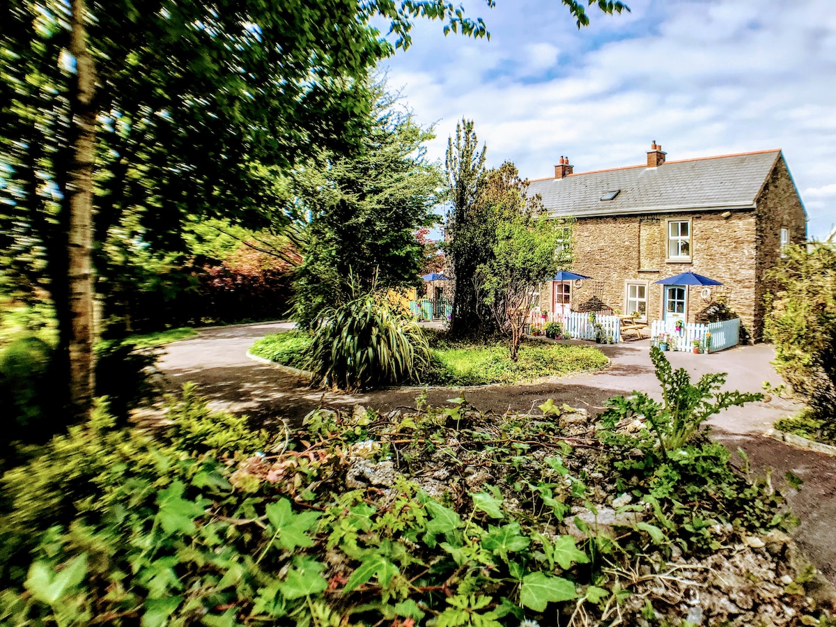 Man-made underground passage in Killeens (cork By.)Man-made underground passage · 719 yd
 Fulacht fia in Killeens (cork By.)Fulacht fia · 1020 yd
 Meadow AvenueMemorial · 1216 yd
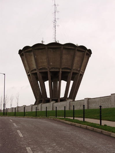 water towerwater tower · 1296 yd
 John DelaneyMemorial · 1351 yd
 Cork WalksVisitor information · 2.5 mi
 Mashanaglass Castle (in Ruins)Castle, tower house · 17 mi
 Summerhouse WoodForest · 18 mi
 Seefin East TopMountain / peak · 18 mi
 Clonavrick CliffCliff · 19 mi
 Macroom WalksVisitor information · 19 mi