What is recorded here
Located on the E facing slope of rising ground in undulating countryside. Only the wall footings survive of a small church (OF045-007001-) built with large limestone boulders with rubble infill. Immediately to the SW are the remains of an irregular shaped enclosure defined by a scarp with loosely piled rubble on top. Portions of five quern stones were discovered amongst the rubble. No headstones or grave-markers were visible inside the enclosure (OF045-007002-) which defines the extent of the graveyard. Probable early medieval church with an enclosure that defines the extent of the medieval graveyard.
Compiled by: Caimin O'Brien.
Date of upload: 23 May 2011
The monument record does not grant public access. Check the route and ask the landowner before entering private land.
- What survives
- Recorded monument
Places near here
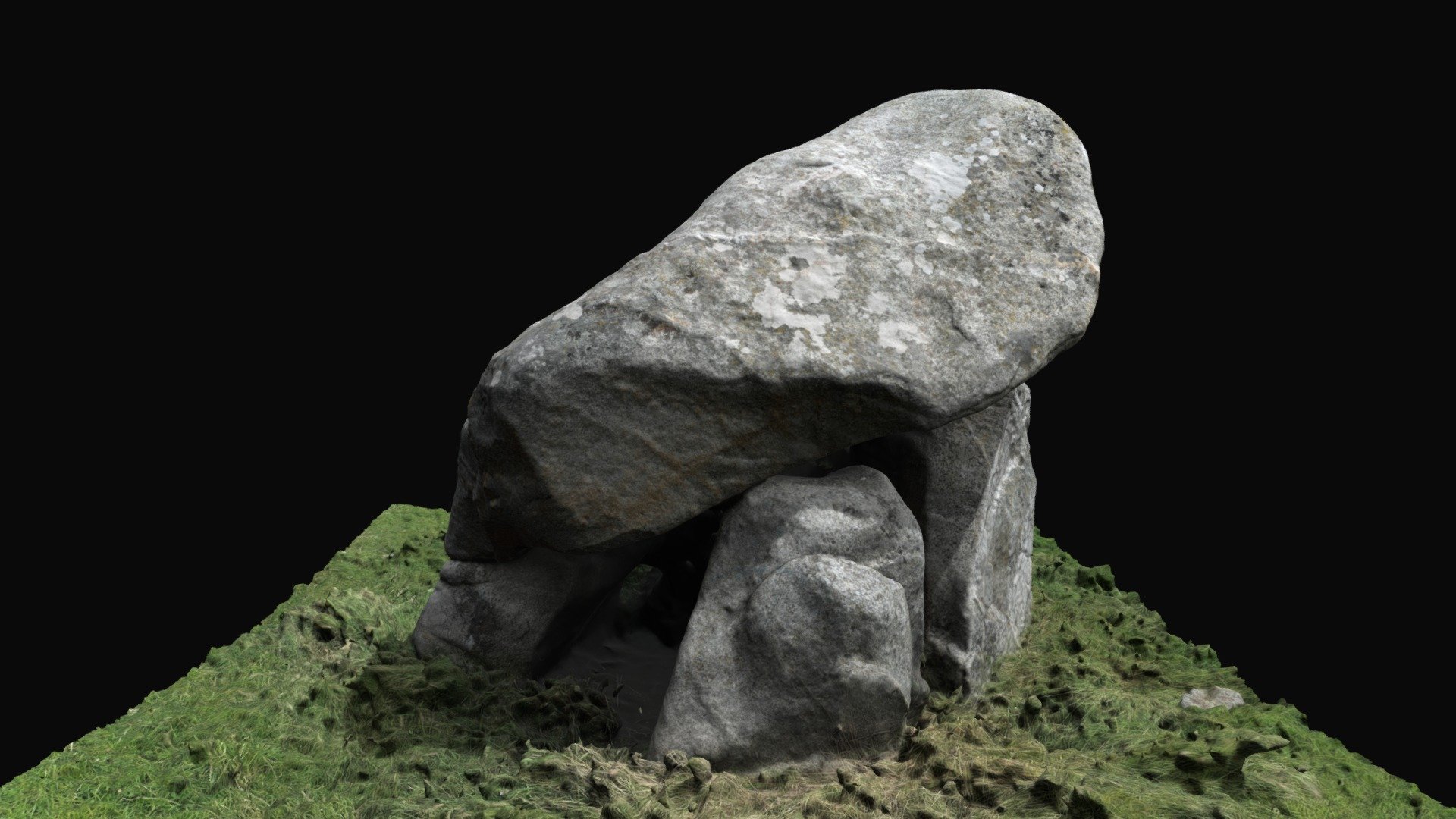 Enclosure in BallybrackEnclosure · 29 yd
 IndicatedCastle, unclassified · 502 yd
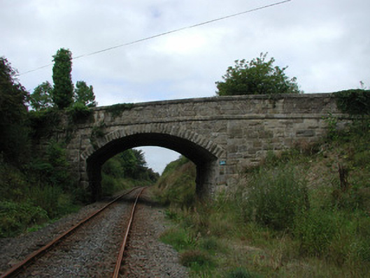 bridgebridge · 1.3 mi
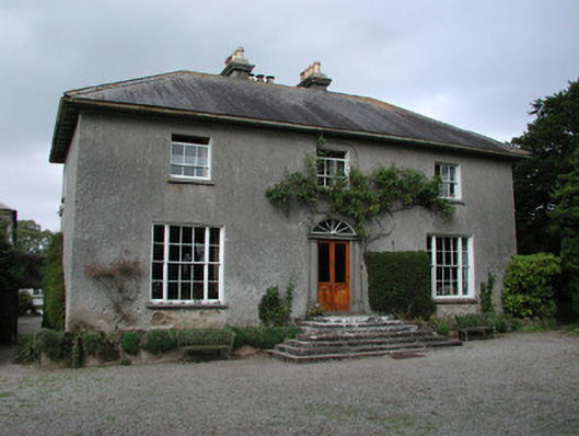 Clyduff Housefarm house · 1.4 mi
 Dotted lineBawn · 1.4 mi
 Field system in FranckfortField system · 1.6 mi
 Coolock WoodForest · 2.2 mi
 White MulberryWhite Mulberry · 2.3 mi
 Eagle HillMountain / peak · 3.8 mi
 Roscrea Petty Sessions HouseHeritage attraction · 4.0 mi
 Golden Grove HillMountain / peak · 4.3 mi
 Thomas MacDonagh Heritage CentreMuseum · 6.5 mi