What is recorded here
Associated with a church (LF019-050001-) located in its W half. This roughly D-shaped graveyard (56m E-W; 37m N-S) is enclosed by an 18th- or 19th-century stone wall surmounted by an iron railing in places. Access is via a narrow wrought-iron gate in the W wall, facing onto the public road. It is no longer in use and contains memorials dating from the 18th to the 19th centuries. A number of architectural fragments from the church are visible within it.
Compiled by: Patrick F. O'Donovan, Caimin O'Brien
Date of upload: 4 June 2013
A local ancient tomb; wider significance not recorded.
The monument record does not grant public access. Check the route and ask the landowner before entering private land.
- What survives
- Recorded monument
Places near here
 Church (in Ruins), Ardagh DemesneChurch · 7 yd
 church/chapel, Ardaghchurch/chapel · 7 yd
 Ardagh Demesne National Schoolschool · 48 yd
 Ardagh Clock TowerMonument · 145 yd
 Ardagh DemesneFort · 894 yd
 Druming Ho. (in ruins), DrumingCastle, unclassified · 1548 yd
 Oldtown CopseWood · 1.7 mi
 Oldtown DemesneForest · 1.8 mi
 National Famine WayWalking route · 2.9 mi
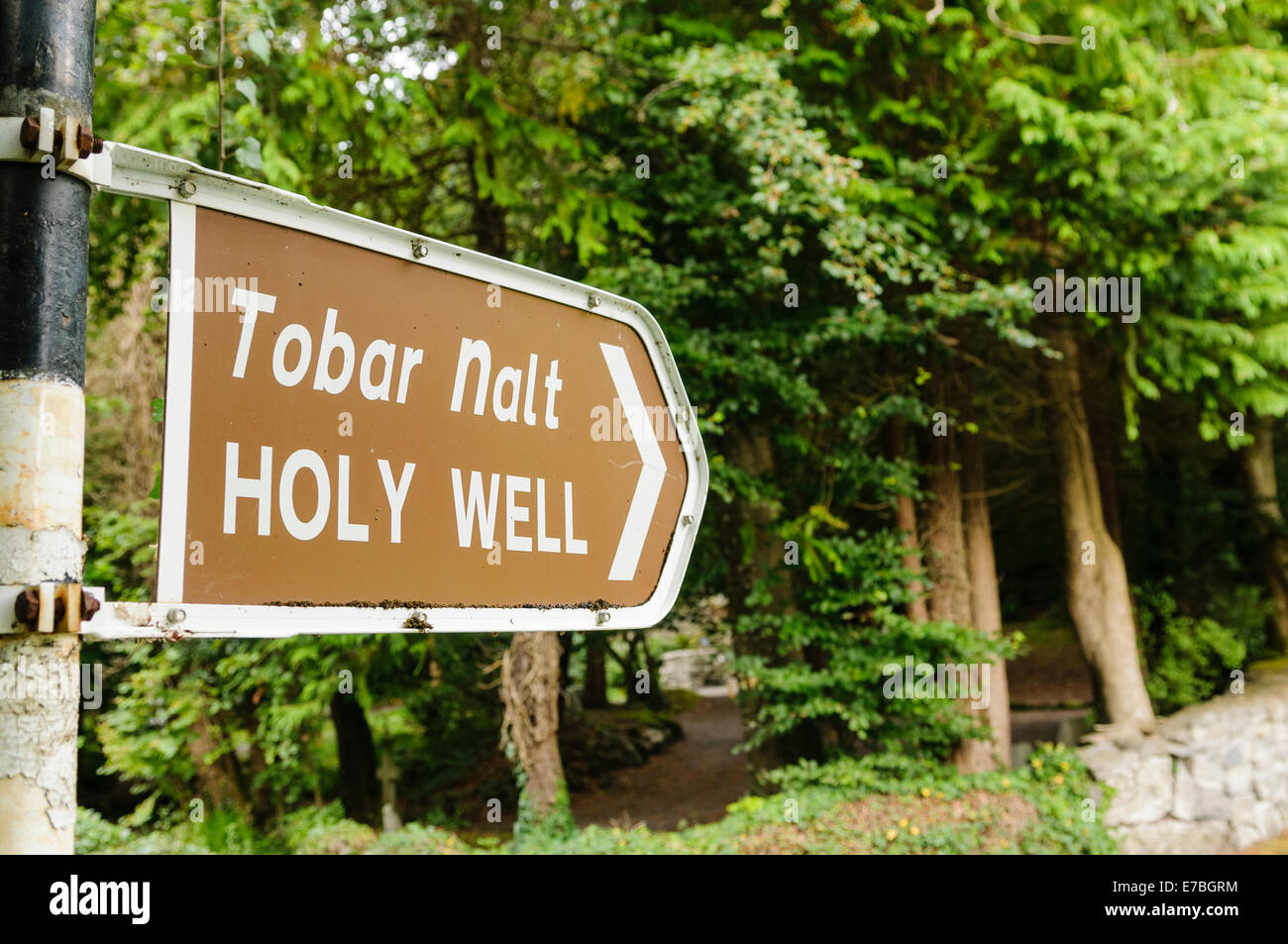 Kilbally Holy WellSpring · 4.5 mi
 First World War MemorialMemorial · 5.8 mi
 Saint Mel's CathedralCathedral · 5.8 mi