What is recorded here
Situated on a slight rise of ground with extensive views. Listed in the ecclesiastical taxation of the Diocese of Killaloe in 1302 (Sweetman 1886, vol. 5, 302). In the Civil Survey of Tipperary 1654-6 (Simington 1934, vol. 2, 320) an enclosure around the graveyard is described as enclosing 'three acres belonging to the Parish of Bonocum being situated on ye North by the Churchyard of ye church of Bonocum (TN001-003001-) are fenced about with a ditch' (Simington 1934, vol. 2, 320). An ivy-clad rectangular church (TN001-013001-) in the N sector of a roughly triangular-shaped graveyard (approx. int. dims. 58m N-S; 90m E-W) defined by an earthen bank from W to NW and elsewhere by a stone wall. An architectural fragment consisting of the head of a twin-light ogee-headed window with decorated spandrels is located in the SE sector of the graveyard. Graveyard depicted as a rectangular shaped area with church standing in NE angle of graveyard with laneway immediately to W on the 1840 ed. OSi 6-inch map. Depicted as a triangular-shaped graveyard on the 1901 ed. OSi 25-inch map.
Compiled and revised by: Caimin O'Brien.
Date of upload/revision: 12 October 2020
Medieval cemetery, 13th–17th century. Its inclusion in ecclesiastical and civil surveys indicates it was an established Christian burial site associated with a local parish or chapel, reflecting the religious and administrative landscape of the region during the late medieval period.
The monument record does not grant public access. Check the route and ask the landowner before entering private land.
- What survives
- Recorded monument
Places near here
 Bonahum Church (in ruins)Church · 18 yd
 LisbunahamFairy fort / earthen ringfort · 341 yd
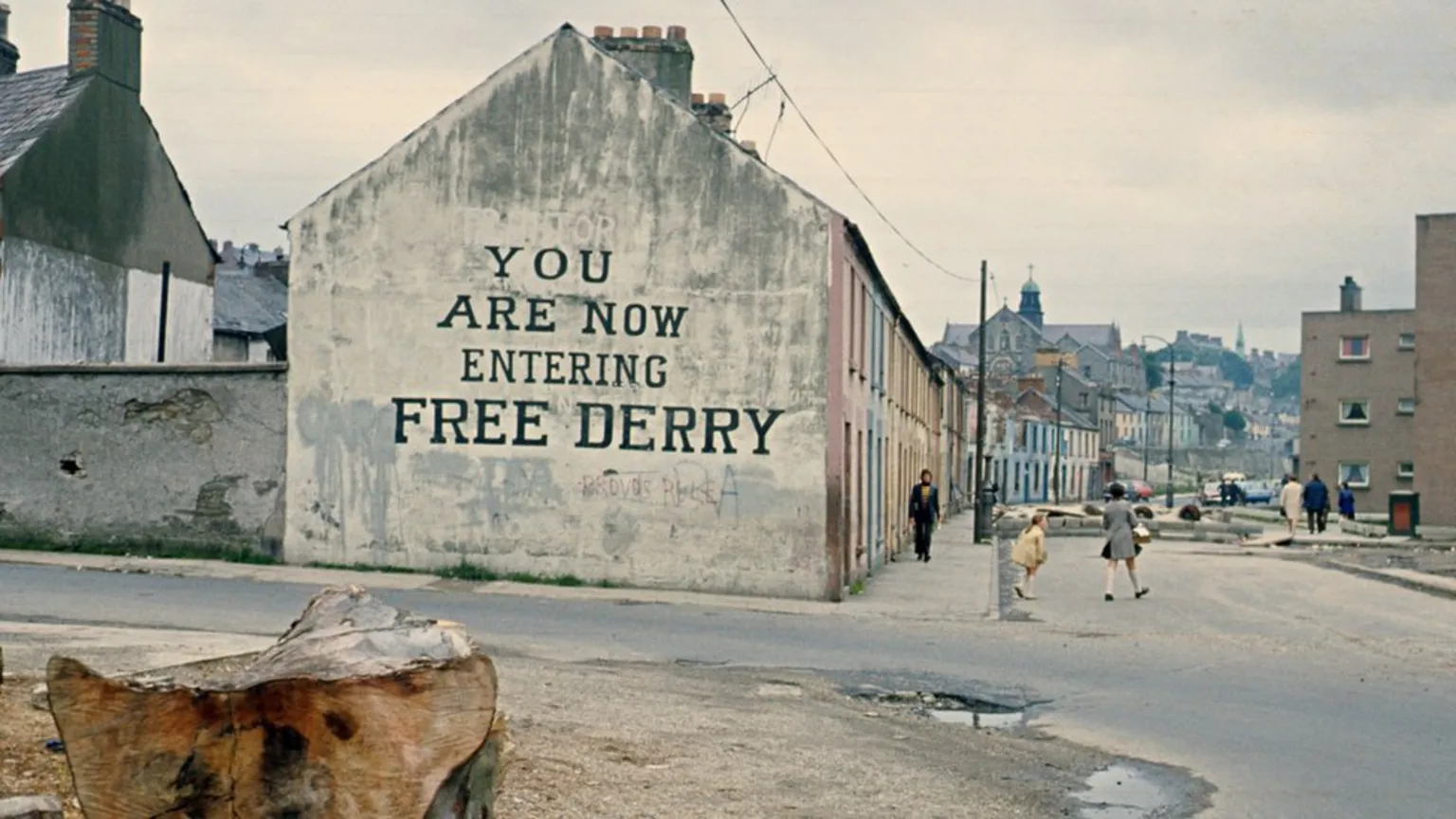 Site of Derry Ho.House, 17th century · 1091 yd
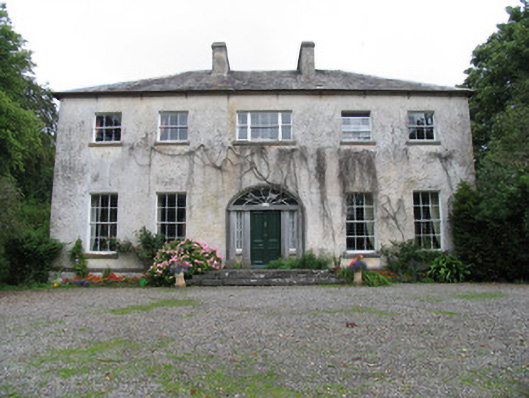 Saint Kieran'scountry house · 1561 yd
 Site of Pallas CastleCastle, unclassified · 1.9 mi
 Cloghan CastleCastle, tower house · 2.4 mi
 Cregg WoodForest · 2.6 mi
 Lumcloon WoodWood · 3.1 mi
 Friars IslandIsland · 3.4 mi
 Killeen's IslandIsland · 3.7 mi
 MeelickVisitor information · 3.9 mi
 All Saints' WellSpring · 4.3 mi