What is recorded here
In grassland on E-facing slope of rising ground in upland area with good views in all directions. Large rectangular graveyard (dims. 53m N-S; 58m E-W) enclosed by a limestone wall which contains 18th and 19th-century memorials, medieval church (TS066-020----), now levelled, located in NW quadrant of graveyard. The Civil Survey (1654-6) describes two acres of glebeland being situated 'close by the churchyard of Sroniell on the east of the said church and being in the third pt colpe of Sronill Towne and is finced about wth a ditch' (Simington 1934 vol. 2, 57).
Compiled by: Jean Farrelly
Date of upload: 26 August 2011
The monument record does not grant public access. Check the route and ask the landowner before entering private land.
- What survives
- Recorded monument
Places near here
 Church in Deerpark (shronell Par.)Church · 1 yd
 Enclosure in Shronell Beg,shronell MoreEnclosure · 956 yd
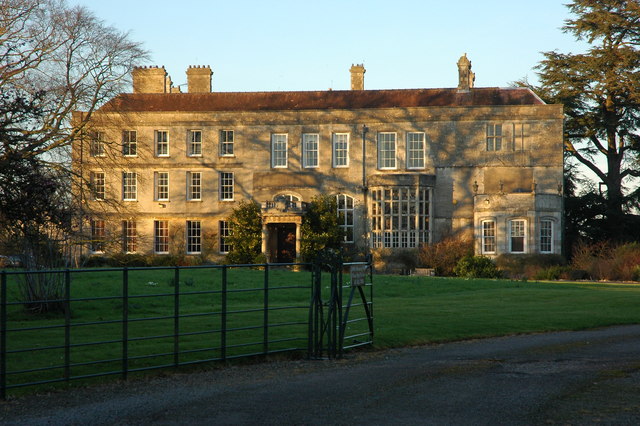 Damerville Courts (in Ruins)House, 18th/19th century · 1087 yd
 Enclosure in BallycohyEnclosure · 1438 yd
 MoatCastle, motte · 1.6 mi
 Site of CastleCastle, unclassified · 1.7 mi
 SlievenamuckMountain / peak · 3.2 mi
 Bansha ForestForest · 3.4 mi
 Oola HillMountain / peak · 3.9 mi
 The RockViewpoint · 4.1 mi
 Glen of AherlowViewpoint · 4.1 mi
 Christ the KingViewpoint · 4.2 mi