What is recorded here
Kilbride graveyard situated on low rise of ground with River Brosna 17m to S and St. Bridget's holy well (WM019-035----) 30m to W. Present remains consist of a polygonal shaped area (approx. dims. 41m N-S x 38m E-W) enclosed by a post-1700 stone wall with entrance fate at S and stone stile to W. Graveyard covered in briars and other scrub vegetation with a few post-1700 memorials visible, no surface remains visible of any church. Coniferous trees have been planted around the perimeter of the graveyard which in places has caused the collapse of the graveyard wall. Graveyard described in 1976 as following; 'This is situated on a low rise with enclosing stone wall of polygonal plan. Within is very high and mounded by the burials. Highest mounding in centre and on NW with depression on E-S. Headstones appear to be all modern. Outside on N, NW an old quarry. No sign of church ruins within' (ASI file).
Compiled and revised by: Caimin O'Brien
Date of revised upload: 05 March 2019
The monument record does not grant public access. Check the route and ask the landowner before entering private land.
- What survives
- Recorded monument
Places near here
 Ecclesiastical enclosure in Culleen MoreEcclesiastical enclosure · 1 yd
 Saint Brigid's WellSpring · 58 yd
 Castle (in Ruins)Castle, tower house · 372 yd
 OutlinedFairy fort / earthen ringfort · 406 yd
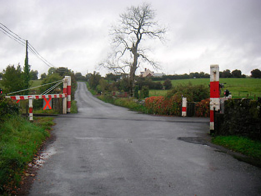 level crossinglevel crossing · 609 yd
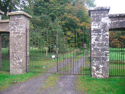 Levington Parkdemesne walls/gates/railings · 799 yd
 United Nations War MemorialMemorial · 1339 yd
 CastlemitchelCastle, unclassified · 1597 yd
 Lady's IslandWood · 1.1 mi
 Mullingar Cathedral MuseumMuseum · 1.5 mi
 Church IslandIsland · 1.6 mi
 Long PlantingForest · 1.6 mi