
What is recorded here
Kilbride graveyard situated on low rise of ground with River Brosna 17m to S and St. Bridget's holy well (WM019-035----) 30m to W. Present remains consist of a polygonal shaped area (approx. dims. 41m N-S x 38m E-W) enclosed by a post-1700 stone wall with entrance fate at S and stone stile to W. Graveyard covered in…
Read the whole record
From the National Monuments Service (Archaeological Survey of Ireland) record WM019-036
Places near here
Photo credits
- Maker not stated on source page, commons.wikimedia.org
- Bridget Neville, Wikimedia Commons · CC BY-SA 4.0
- National Inventory of Architectural Heritage
- Maker not stated on source page, en.wikipedia.org
- Maker not stated on source page, www.ww1-yorkshires.org.uk
- kevin higgins, Geograph · CC BY-SA 2.0
- Maker not stated on source page, www.pinterest.com
 St. Bridgets WellHoly well · 56 yd
Explorer Tom St. Bridgets Well in Culleen More had a fox take charge of it last Tuesday and I believe he’s still running the show.…
 Saint Brigid's WellSpring · 58 yd
Explorer Tom Saint Brigid's Well has an escape plan involving a cart of hay and a very fast horse named Brenda. She’s been plotting…
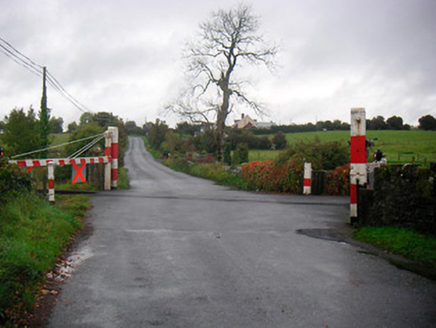 level crossing609 yd
Explorer Tom Level crossing in Farranistick would order extra gravy and no peas at the chippy. It's been standing there since the…
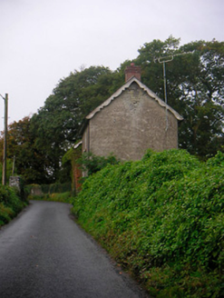 Levington ParkGate lodge · 799 yd
Explorer Tom Levington Park gate lodges in Farranistick love singing old sea shanties, even though they’re miles from any actual…
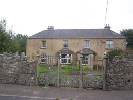 BallyglassHouse · 1082 yd
Explorer Tom Ballyglass has a ridiculous smuggling story about a goat hiding whiskey in its stomach under the canted bay window.…
 graveyard/cemetery1115 yd
Explorer Tom Graveyard in Robinstown is where the Great Famine folks went to rest after one heck of a dance party that lasted way…
 Famine CemeteryCemetery · 1115 yd
Explorer Tom Famine Cemetery in County Westmeath is sick of being asked if it’s haunted, because yes, obviously, but it wants to be…
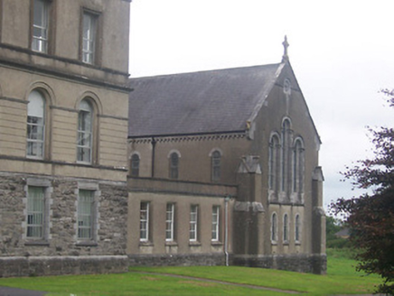 Saint Finian's CollegeChurch/chapel · 1262 yd
Explorer Tom Saint Finian's College is doing the Gothic thing but keeping things round for good measure. Rumor has it a choir once…
 Ballyglass CemeteryCemetery · 1377 yd
Explorer Tom Ballyglass Cemetery in County Westmeath took roughly four thousand cups of tea to build, according to my completely…
 Cross in Church Island (lough Owel)Cross · 1.6 mi
Explorer Tom Cross in Church Island would review its visitors like a picky restaurant critic, noting how you tread on the stones.…
 Church IslandIsland · 1.6 mi
Explorer Tom Church Island in County Westmeath would tell a teenager that the 1800s were basically just slow Wi-Fi and worse…
 CastleCastle, unclassified · 2.1 mi
Explorer Tom Castle in Ballynagall is secretly proud of one specific potato growing in its shadow right now. It’s not on any map…
More archaeology and monuments in County Westmeath · All of County Westmeath

What do you know about this place?Tap to add a comment or ask a question