What is recorded here
Half a kilometre from the last house, a square of dead men holds its shape against the sky. Thirty-seven metres north to south, thirty-six east to west, no more and no less, as if a carpenter had measured the distance between birth and forgetting and cut it free. The church is gone except for a shadow in the grass, but its room remains, a hollow rectangle the wind still passes through. People have dropped into that ground for a thousand years, piling soil until the whole enclosure stands raised above the living world. The cross-pillar leans slightly south, wearing its markings smooth, and the granite wall catches rain without mortar to hold it. Haroldstown has forgotten most of what it was, yet this much it kept: a clear edge, a level floor, and enough darkness for the dead to stand upright.
A roughly square graveyard (map dims. c. 38m N-S; c. 37m E-W) with a church (CW009-032001-) in the northern sector.
Compiled by: Claire Breen
Date of upload: 19 August 2011
The monument record does not grant public access. Check the route and ask the landowner before entering private land.
- What survives
- Recorded monument
Places near here
 Church (in ruins), GraveyardChurch · 7 yd
 Saint Mary's Catholic Churchchurch/chapel · 792 yd
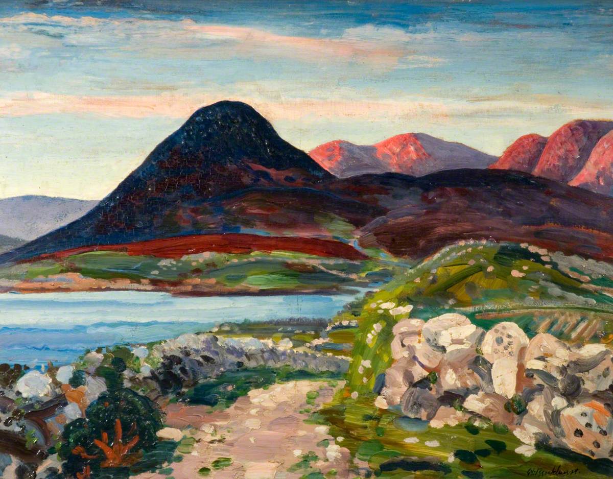 Ballynakill RathFairy fort / earthen ringfort · 1059 yd
 Knockallow RathFairy fort / earthen ringfort · 1518 yd
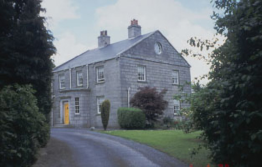 Killinure Housefarm house · 1.7 mi
 Clonmore Castle (in Ruins)Castle, Anglo-Norman masonry castle · 2.1 mi
 Clonmore MoatCastle, motte and bailey · 2.5 mi
 Rath WoodForest · 2.6 mi
 Acaun Church (in ruins), GraveyardChurch · 2.9 mi
 European BeechEuropean Beech · 3.4 mi
 Eagle HillMountain / peak · 3.7 mi
 Ballynultagh HillMountain / peak · 4.5 mi