What is recorded here
In open level pasture, separated from Confey Castle (KD006-004----), c. 160m to the ENE, by a small S-flowing stream which is spanned by a small bridge, and within a possible field system (KD006-017----). A medieval church (KD006-003----) stands at the N end of the graveyard which is shown on the 1st ed. (1838) of the OS 6-inch map as a sub-rectangular area (dims. L c. 40m N-S; Wth c. 30m) which was extended significantly (L plus c. 140m) to abutt the road to the S as shown on the latest ed. (1939) of the OS 6-inch map, and was subsequently extended again, to the E (Wth plus c. 50m) to its present limits. The graveyard is enclosed by a mortared stone wall and the earlier burials occur at the N end, around and to S of the church. Legible gravemarkers date from the 18th century to the present-day and Colgan and Cormack (2004-5, 502-535) have published a survey of the gravestones.
Compiled by: Gearóid Conroy
Date of upload: 10 June 2011
Medieval cemetery, likely 13th to 16th century. Its association with Confey Castle suggests it may have served as a burial ground for the castle's inhabitants or local community, reflecting medieval land use and religious practices in the area.
The monument record does not grant public access. Check the route and ask the landowner before entering private land.
- What survives
- Recorded monument
Places near here
 Confey ChurchChurch · 97 yd
 Confey CastleCastle, tower house · 228 yd
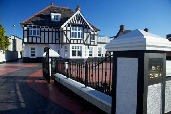 St Columbs WellHoly well · 685 yd
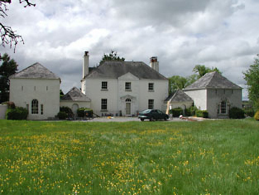 Newtown Hill Househouse · 989 yd
 Squirrel WoodWood · 1270 yd
 Sli Na Sláinte Leixlip SliWalking route · 1378 yd
 St. Catherines WellsHoly well · 1380 yd
 Guinness' BreweryMemorial · 1503 yd
 Leixlip MonumentMemorial · 1610 yd
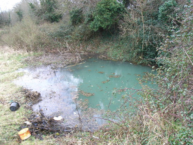 Leixlip Spa - SpringSpring · 1.0 mi
 Lucan DemenseHeritage attraction · 1.2 mi
 Sli Na Sláinte Leixlip Lucan DesmenseWalking route · 1.2 mi