What is recorded here
Immediately S and E of a church (GA081-005001-). A roughly trapezoidal area (E-W 24m, N-S 12m) enclosed by modern field walls to E, S and W, and delimited by the church and a bullaun (GA081-005003-) to N. Numerous small set stones are visible in the undergrowth.
The above description is derived from the published 'Archaeological Inventory of County Galway Vol. I - West Galway'. Compiled by Paul Gosling (Dublin: Stationery Office, 1993).
Date of upload: 05 August 2010
The monument record does not grant public access. Check the route and ask the landowner before entering private land.
- What survives
- Recorded monument
Places near here
 Templebeg (in ruins)Church · 7 yd
 St. Patricks WellHoly well · 457 yd
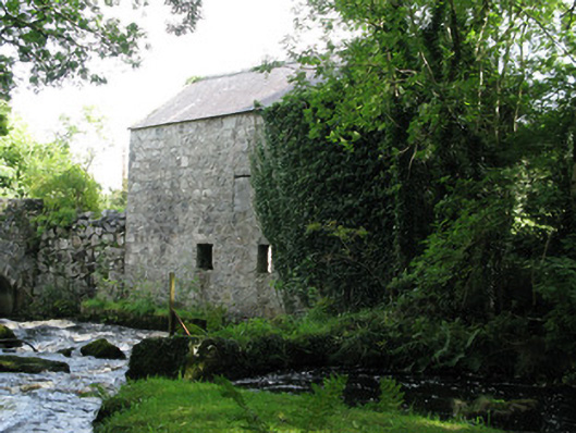 mill (water)mill (water) · 1307 yd
 CastleCastle, unclassified · 1.0 mi
 IndicatedEnclosure · 1.1 mi
 Galway Cakery CaféHeritage attraction · 1.4 mi
 Connemara MarbleHeritage attraction · 1.7 mi
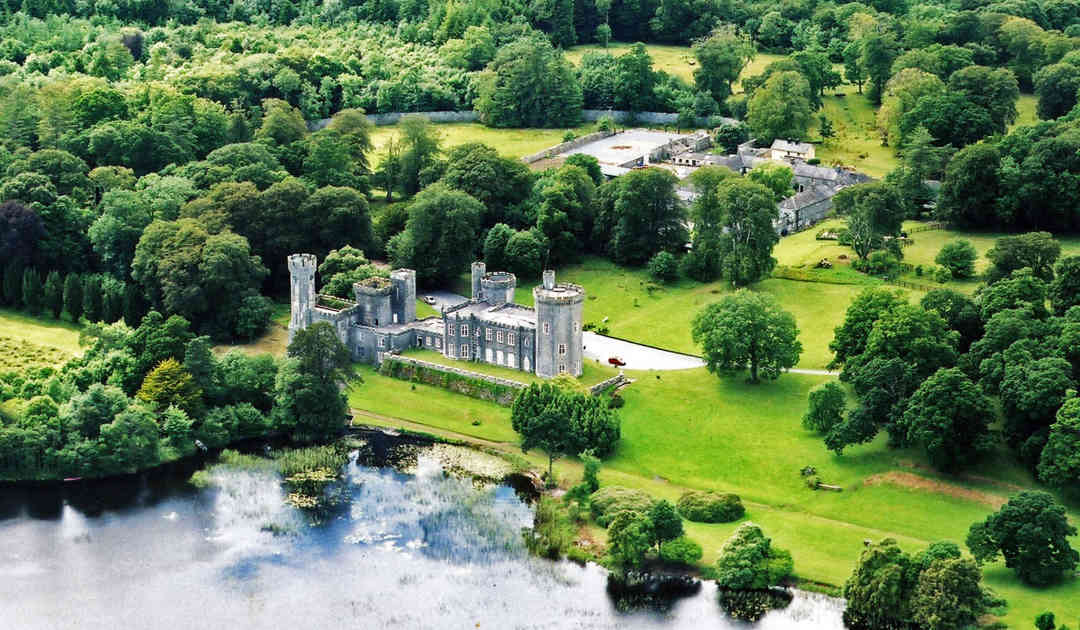 Two Sisters Castles (in ruins)Castle, tower house · 3.3 mi
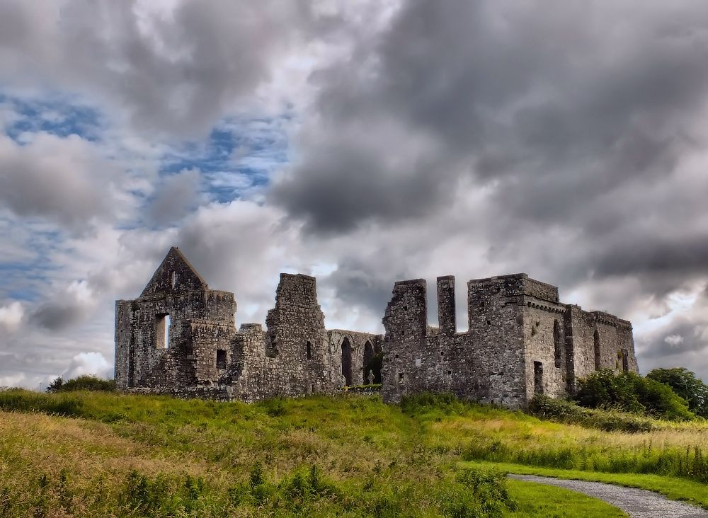 Cnoc an Bhaile NuaMountain / peak · 3.5 mi
 IllaunnashinnaghIslet · 3.9 mi
 Gurlaun IslandIslet · 4.2 mi
 The Wet WoodWood · 4.5 mi