What is recorded here
On flat ground at break of fairly steep SE facing slope, ground falls beyond break of slope to NE-E-S. The graveyard is depicted on the 1st (1840-41) ed. OS 6-inch map as a roughly rectangular enclosure (dims. 43-56m N-S; 40-46m E-W) which had a shorter S wall, with the E and W walls splaying outwards towards a longer N wall. There is no visible trace above ground of the church (TS067-044----) which was located roughly N of centre in the graveyard. The graveyard is now an area of very rough grazing which has been largely fenced off and the area where the church was located has been used in the past for dumping manure, mounds of soil (H c. 0.7m; average Wth c. 3.5m) with stones and some building rubble, including a concrete pier.
Compiled by: Jean Farrelly
Date of upload: 26 August 2011
This remains an important historical record, but the official description says the monument is no longer visible or has been destroyed. The monument record does not grant public access. Check the route and ask the landowner before entering private land.
- What survives
- No visible remains or recorded as destroyed
Places near here
 Church (in ruins)Church · 7 yd
 IndicatedHilltop enclosure · 493 yd
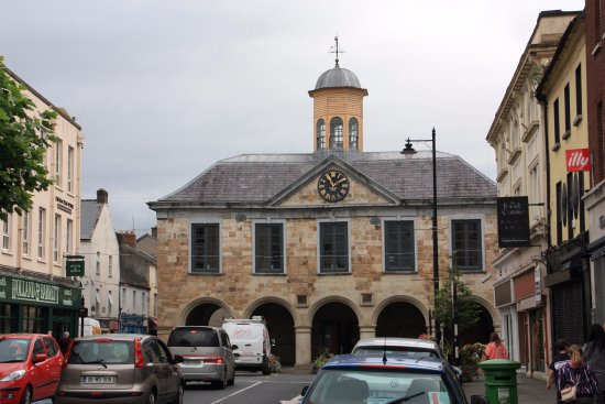 Enclosure in CloonfinglassEnclosure · 525 yd
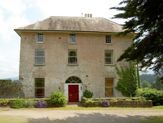 Cluen Househouse · 802 yd
 Castle (in ruins)Castle, unclassified · 1032 yd
 Bansha CastleCastle · 1119 yd
 Bansha ForestForest · 2.0 mi
 European ashEuropean ash · 2.1 mi
 I.R.A. 3rd. Tipperary Brigade MemorialMemorial · 3.3 mi
 The RockViewpoint · 3.8 mi
 It's a long way to TippereryHeritage attraction · 3.8 mi
 The Maid of ErinMemorial · 4.0 mi