What is recorded here
Situated on a knoll in an undulationg landscape witht the S-N Killary Water c. 550m to the E. The site of the medieval parish church of Mitchelstown parish (ME012-007----) is within a sub-triangular graveyard (max. dims c. 50m E-W; c. 33m N-S) defined by a stone wall, with the apex at E and a public road curving around the perimeter NW-E-SE.
Compiled by: Michael Moore
Date of upload; 22 May, 2014
Amended: 31 July, 2014
The monument record does not grant public access. Check the route and ask the landowner before entering private land.
- What survives
- Recorded monument
Places near here
 Stokestown CastleCastle, unclassified · 91 yd
 IndicatedEnclosure · 1517 yd
 Enclosure in KillaryEnclosure · 1649 yd
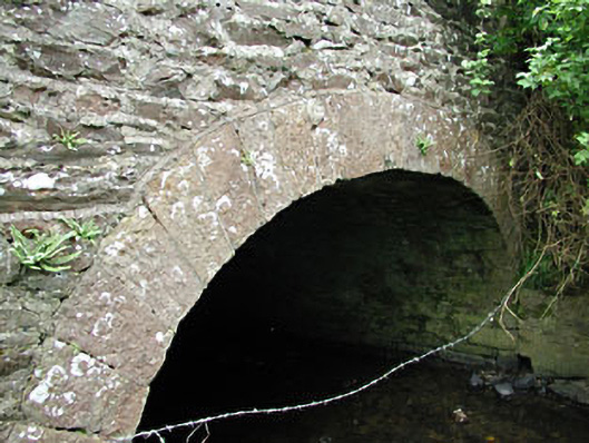 bridgebridge · 1.1 mi
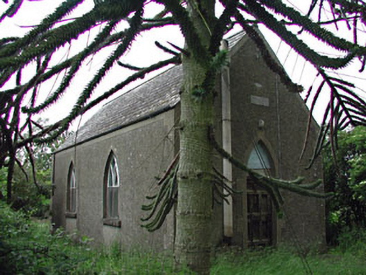 Siddan Hallchurch hall/parish hall · 1.1 mi
 Site of Siddan castleCastle, unclassified · 1.4 mi
 Gun HillMountain / peak · 1.5 mi
 Ugly HillMountain / peak · 1.8 mi
 Headstown ForestForest · 2.3 mi
 European YewEuropean Yew · 2.9 mi
 Nobber GreenwayMemorial · 3.2 mi
 Pat's Art StudioGallery · 8.5 mi