What is recorded here
Situated on a bluff overlooking the valley of the S-N Blackwater River, with the stream c. 60m to the W. The site of the medieval parish church of Castlerickard (ME031-014001-) is within a rectangular graveyard (dims c. 40m WNW-ESE; c. 30m NNE-SSW) defined by earthen banks at N and E and by masonry walls at S and W, which retain the slope. The headstones date from 1716 to c. 1900, but the extraordinary Swifte mausoleum in the form of a tetrahedron (H 4.45m) of interlocking limestone pieces has no date. The motte (ME041-014----) is c. 15m to the N and the field system (ME041-015----) is around both features to the N and E.
Compiled by: Michael Moore
Date of upload: 20 March, 2015
A medieval graveyard; associated with the parish church of Castlerickard.
The monument record does not grant public access. Check the route and ask the landowner before entering private land.
- What survives
- Recorded monument
Places near here
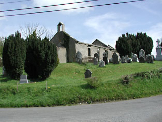 Saint Nicholas's Church (Castlerickard)church/chapel · 9 yd
 CastleCastle, motte · 56 yd
 EnclosureEnclosure, large enclosure · 641 yd
 Common LimeCommon Lime · 718 yd
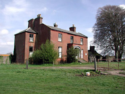 Castlerickard Housecountry house · 756 yd
 European BeechEuropean Beech · 898 yd
 Donore CastleCastle · 1.0 mi
 Concentric enclosure in DalystownConcentric enclosure · 1.3 mi
 Croppies' GraveMemorial · 4.6 mi
 Cloncurry GraveyardHeritage attraction · 7.1 mi
 Old Bog Road made famous by Teresa Bryton 1868-1943Memorial · 7.8 mi
 Kilgar GardensHeritage attraction · 9.6 mi