
Places near here
Photo credits
- National Inventory of Architectural Heritage
- Raymond Norris, Geograph · Creative Commons Attribution-ShareAlike 2.0
- Golfing in Ireland; photographer not stated, Source publisher
- Podstawko, Wikimedia Commons · CC BY 4.0
- Nigel Cox, Wikimedia Commons · CC BY-SA 2.0
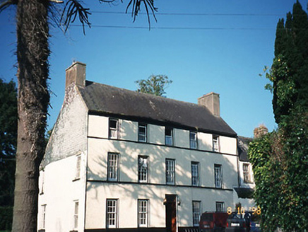 CastlefarmHouse · 154 yd
Explorer Tom Castlefarm in County Kerry is a mid-Georgian house that would demand 'Rest In Peace' on its tombstone. It’s got a wing…
CastleCastle, ringwork · 192 ydExplorer Tom Castle in Castlefarm is a ringwork that got turned into a garden lawn, which is a bold move for an ancient fort. It has…
Fairy fort / earthen ringfort in CastlefarmFairy fort / earthen ringfort · 195 ydExplorer Tom Fairy fort / earthen ringfort in Castlefarm had a massive argument about parking rights with a cow in 1897. The cow…
Earthwork in CastlefarmEarthwork · 214 ydExplorer Tom Earthwork in Castlefarm holds the fake world record for being covered in moss and rubble. It’s a bank that tried to be…
Site of CourtCastle, unclassified · 224 ydExplorer Tom Site of Court in Castlefarm sits on a limestone outcrop where two families once fought over who owned the best view.…
 Saint Gertrude's Catholic ChurchChurch/chapel · 1118 yd
Explorer Tom Saint Gertrude's Catholic Church in Killahane was built on a bargain that still haunts the local estate agents. The…
Ballyfinnane Community PlaygroundChildren's playground · 2.0 miExplorer Tom Ballyfinnane Community Playground holds secret meetings when nobody is looking to decide which slide is the best one to…
Ballygamboon Forest Recreation AreaWood · 3.8 miExplorer Tom Ballygamboon sits on the eastern end of Kerry's Sliabh Mish mountains, with the River Maine's farmland below and the…
KnockavaddraMountain / peak · 4.3 miExplorer Tom Knockavaddra in County Kerry keeps getting picked on by the wind because it has the thinnest ears of any mountain in…
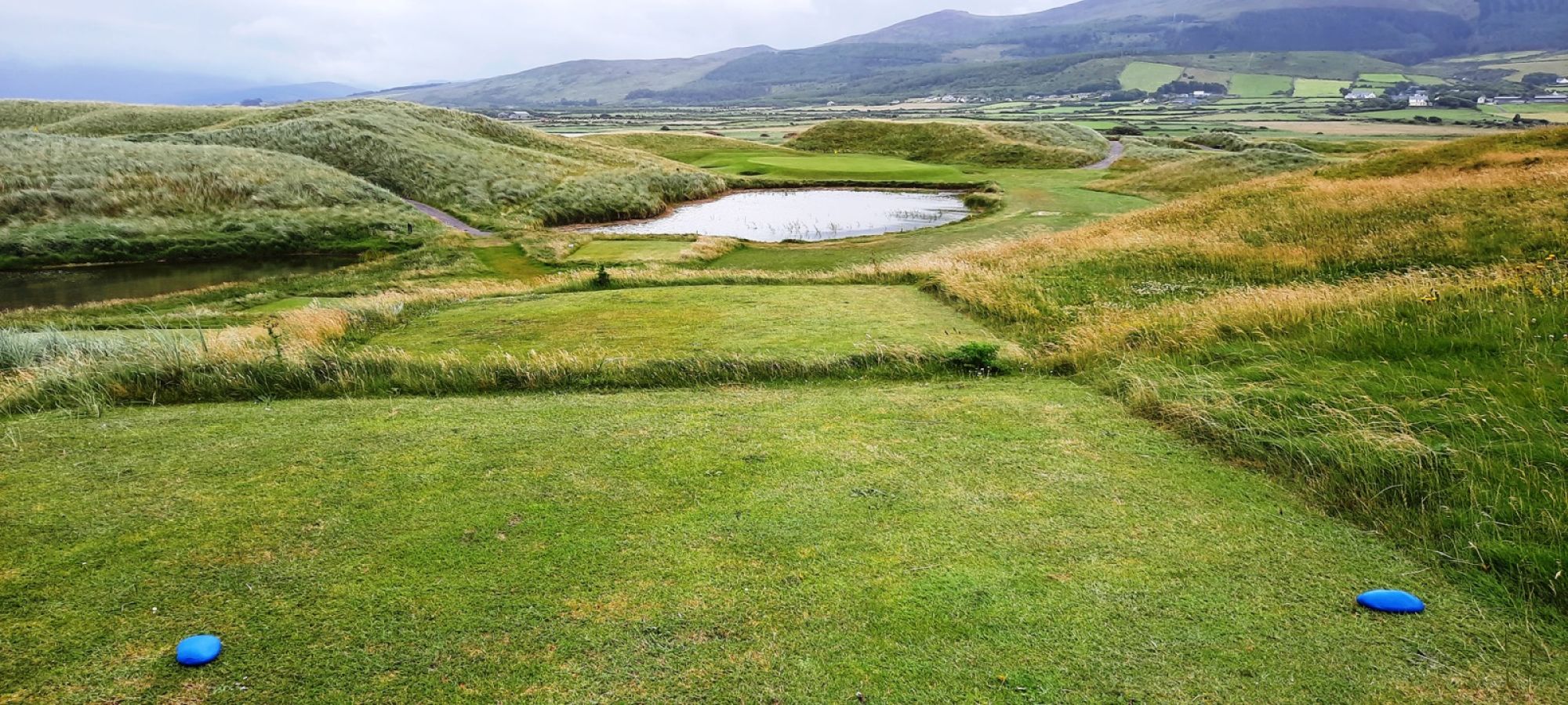 Castlegregory Golf ClubGolf course · 20 mi
 IllauntannigIslet · 21 mi
Explorer Tom A fiddler played on Illauntannig all night until his bow snapped and he fell asleep in the grass. He woke up convinced…
 IllaunimmilIslet · 22 mi
Explorer Tom Locals swear that if you wink at Illaunimmil, it will blink back, proving it’s watching you. I’m not sure if it’s magic…
More archaeology and monuments in County Kerry · All of County Kerry

What do you know about this place?Tap to add a comment or ask a question