
What is recorded here
Situated on a NE-facing slope overlooking a valley in rolling pasture with good views in all directions. Indicated on the 1923 OS 6-inch map as a sub-rectangular area (c. 40m NW-SE; 30m NE-SW) accessed by a track. Enclosed by a mortared stone wall (H 1.5m), ivy-covered on the inside. A concrete path runs just inside the enclosing wall. The graveyard is still in use. The ruins of a church (LI014-023001-) stand in the NE corner. The interior of the site is strewn with rubble and stones. There are several collapsed graves with upright and recumbent 19th century slabs. A gentle scarp defines the NE half of the site, where there is a concentration of burials.
The monument record does not grant public access. Check the route and ask the landowner before entering private land.
- What survives
- Recorded monument
Places near here
 Carrigparson Church (in ruins)Church · 15 yd
 Carrigparson Househouse · 723 yd
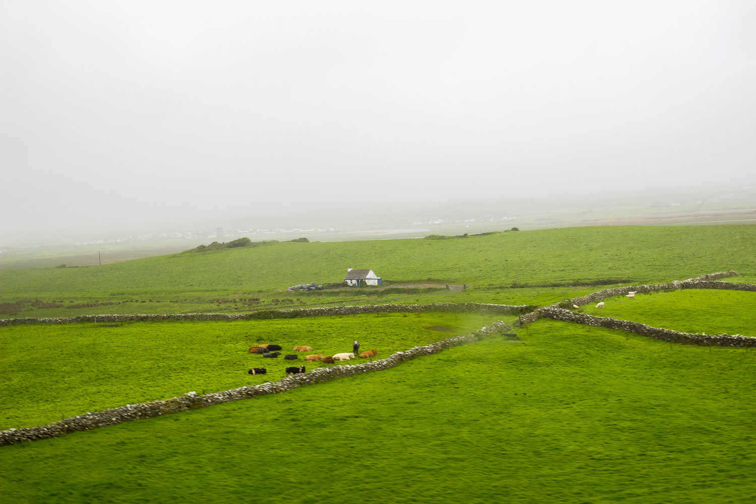 BarrowBarrow, unclassified · 907 yd
 Tooreen Castle (in ruins)Castle, tower house · 1.0 mi
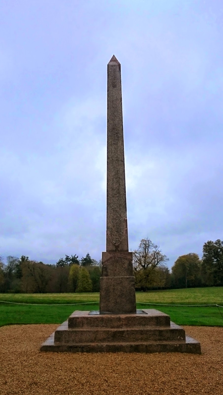 ObeliskCairn, unclassified · 1.3 mi
 Ballyneety Castle (Site of)Castle, unclassified · 1.7 mi
 Wych ElmWych Elm · 1.9 mi
 Campus MapVisitor information · 4.0 mi
 Visitor CentreVisitor information · 4.0 mi
 Fountain SculptureHeritage attraction · 4.0 mi
 Graveyard in AbingtonGraveyard · 4.5 mi
 KnockseefinMountain / peak · 8.0 mi
Other information
Photo: Credit not shown in the picture search · Rights wording not checked; contact us if this picture should be removed