What is recorded here
On a gentle E-facing slope in tillage. A trapezoidal area (L 40m NW-SE; Wth at wider NW end c. 26m; Wth at narrower SE end c. 13m) is enclosed by a mortared stone wall and is accessed by either of two stiles at the SE end. Marked burials are concentrated towards the N end and the earliest legible grave markers date to the 19th-century. The graveyard also contains a ruined church (KD035-030----) and a cross-slab (KD035-030002-).
Compiled by: Gearóid Conroy
Date of upload: 17 December 2013
The monument record does not grant public access. Check the route and ask the landowner before entering private land.
- What survives
- Recorded monument
Places near here
 Church (Site of)Church · 16 yd
 Burtown House and GardensHeritage attraction · 223 yd
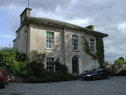 Burtown Housefarm house · 270 yd
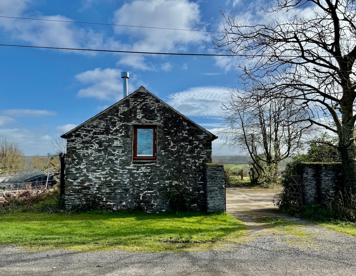 Enclosure in Burtown BigEnclosure · 338 yd
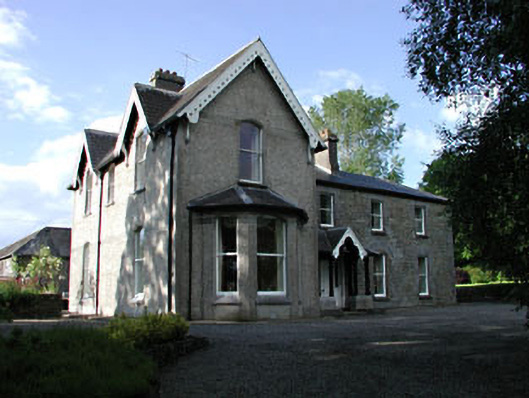 Burtownfarm house · 696 yd
 Irishtown WoodWood · 1.1 mi
 Ballycullane WoodForest · 1.2 mi
 Inch CastleCastle, tower house · 1.6 mi
 Gorden Bennet Race memorialMemorial · 2.6 mi
 History of Moat of ArdscullVisitor information · 2.6 mi
 Ardscull MoatCastle, motte · 2.6 mi
 Lorcán Ó TuathailMemorial · 4.3 mi