What is recorded here
On a lower N-S ridge in undulating terrain, surrounded by pasture. Buolick church (TS048-020002-) stands at the N edge of the present graveyard which forms a roughly D-shaped area (dims. 70m E-W; 40m N-S) S of the church. The graveyard is delineated by a stone wall with a gate in the S section. It appears that the graveyard was formally larger, extending northwards (dims. 60m E-W; 45m N-S) forming a large sub-oval area (dims. 70m E-W; 85m N-S), the northern portion of which is defined by a scarp (H 0.52m; Wth c. 6m). There is another area (dims. 30m N-S; 17m E-W) defined by scarp (H 0.5m; Wth c. 4m) immediately W of the graveyard wall which may also be part of the original graveyard. The walled graveyard is still used for burials. Both within the church and the graveyard are headstones dating from the 18th century onwards. The earliest noted dates to 1750 and is located against the W wall of the chancel arch of the church.
Compiled by: Jean Farrelly
Date of upload: 09 January 2013
The monument record does not grant public access. Check the route and ask the landowner before entering private land.
- What survives
- Recorded monument
Places near here
 Buolick Church (in ruins)Church · 9 yd
 Settlement desertedSettlement deserted, medieval · 295 yd
 Buolick MoatCastle, ringwork and bailey · 414 yd
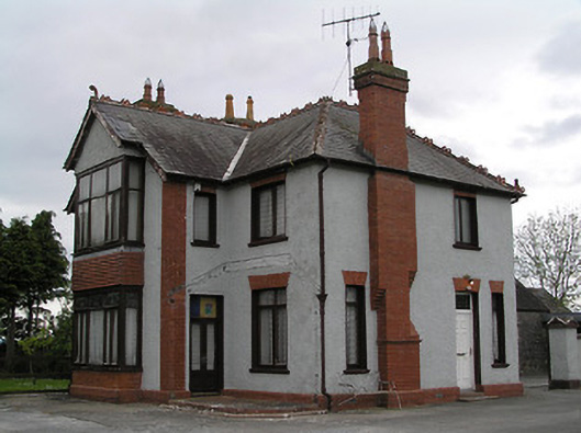 presbytery/parochial/curate's housepresbytery/parochial/curate's house · 1184 yd
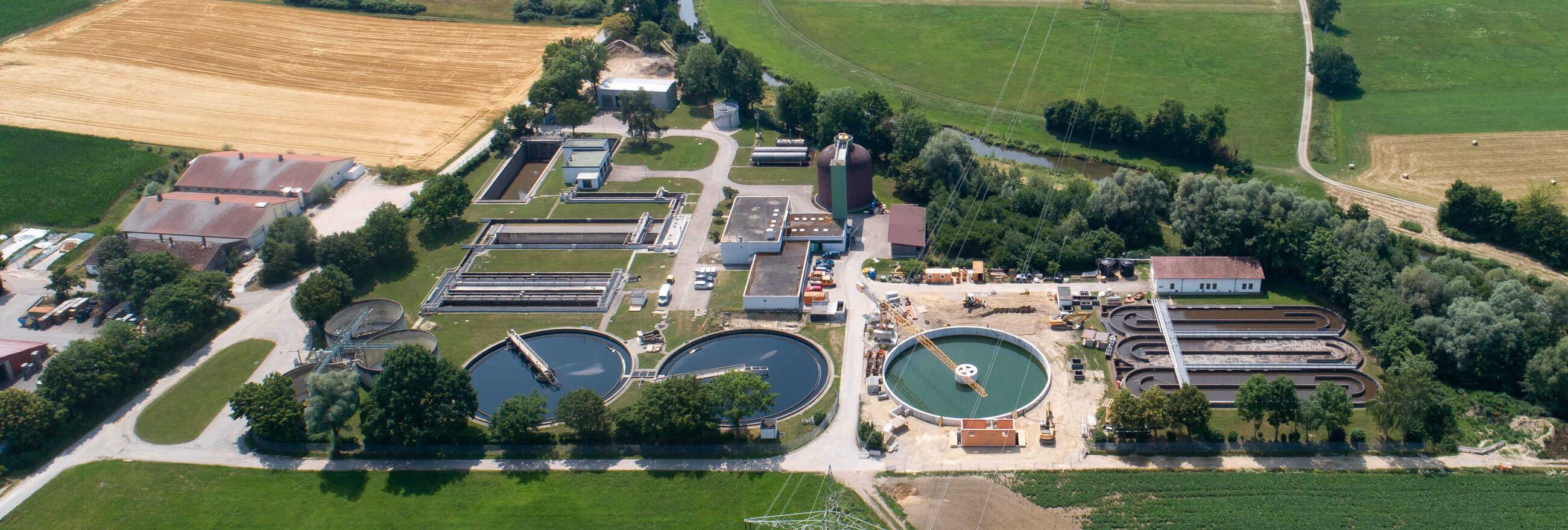 Field system in Coole (buolick Par.)Field system · 1247 yd
 IndicatedCastle, motte · 1267 yd
 Kilcooly AbbeyHeritage attraction · 2.1 mi
 Bregaun HillMountain / peak · 2.2 mi
 Rapefield WoodForest · 2.5 mi
 KilcooleyForest · 2.6 mi
 Waterloo HillMountain / peak · 4.1 mi
 Derrynaflan TrailHeritage attraction · 4.7 mi