
What is recorded here
In pasture, located on level elevated ground, with a wooded slope immediately to W dropping steeply to the River Moy. Shown on the 1838 OS 6-inch map as a polygonal enclosed area (c. 55m E–W; c. 30m N–S), marked ‘Grave Yard’, accessed at NE by a road. Extensions to the N and NE end of the burial ground resulted in its…
Read the whole record
From the National Monuments Service (Archaeological Survey of Ireland) record MA048-030
Places near here
Photo credits
- Maker not stated on source page, in.pinterest.com
- National Inventory of Architectural Heritage
- Maker not stated on source page, www.joinmychurch.com
- Maker not stated on source page, no.pinterest.com
- Maker not stated on source page, commons.wikimedia.org
- Discover Ireland; photographer not stated, Discover Ireland
- Knockmore GAA Club via Smart Lotto; individual photographer not stated, smartlotto.ie
- Annette Clarke / Moy Davitts GAA, as credited by Western People, www.westernpeople.ie
- Maker not stated on source page, ar.pinterest.com
- Maker not stated on source page, www.dreamstime.com
- Maker not stated on source page, ru.pinterest.com
 Standing stone in BunnafinglasStanding stone · 162 yd
Explorer Tom Standing stone in Bunnafinglas leans so sharply south that locals swear it’s trying to escape the River Moy. If you…
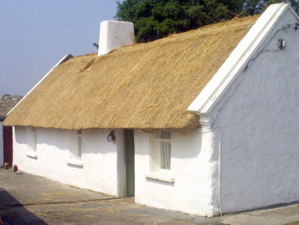 farm house1.0 mi
Explorer Tom Farm house in Ballycong has a bird that refuses to leave. It sits on the roof like it owns the place. The thatch is…
 Church in TonybaunChurch · 1.4 mi
Explorer Tom Church in Tonybaun is the ultimate shortcut that never actually gets you anywhere, like trying to find a needle in a…
 Killeen New CemeteryCemetery · 1.7 mi
Explorer Tom Killeen New Cemetery is clearly run by a very serious dog who believes he is the king of all things buried and…
 Enclosure in Sraheen (tirawley By.)Enclosure · 1.7 mi
Explorer Tom Enclosure in Sraheen would complain to the council about the lack of signage and the constant wind. It’s a place that…
 Father Peyton CentreVisitor attraction · 2.0 mi
Explorer Tom The Father Peyton Centre in Attymass tells how a boy from the Mayo countryside became a priest whose family prayer…
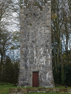 Mount FalconBuilding misc · 2.0 mi
Explorer Tom Mount Falcon is a faux Irish tower house water tower, which is basically a building pretending to be a castle but it’s…
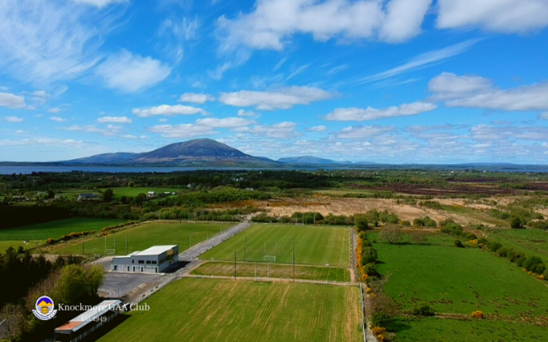 Knockmore, Knockmore GAAGAA ground · 2.2 mi
 Srath Garbh, Bohola-Moy Davitts, FoxfordGAA ground · 3.0 mi
 FreaghillanIslet · 4.8 mi
Explorer Tom Freaghillan is secretly proud of a single potato that grew on its rocks once, treating it like a national treasure ever…
 Castle (in Ruins)Castle, unclassified · 5.3 mi
Explorer Tom Terrybaun Castle would order the biggest chips and extra mush in any chippy in Mayo. It’s unclassified because nobody…
 IllangubIslet · 5.7 mi
Explorer Tom Illangub claims its favourite song is the one that sounds like waves hitting rocks, which is basically just white noise…
More archaeology and monuments in County Mayo · All of County Mayo

What do you know about this place?Tap to add a comment or ask a question