What is recorded here
Sub-rectangular shaped graveyard indicated on the 'OSi 25-inch' map (map dims. c. 43m E-W; c. 36m N-S) with church remains (LH021-026001-) just E of centre. No graveslabs were noted when inspected by ASI in 1966, however reference to the existence of one lying on the ground in the 1930's (IFC Schools' Mss 674, 180).
Compiled by: Claire Breen
Date of upload: 17 July 2012
The monument record does not grant public access. Check the route and ask the landowner before entering private land.
- What survives
- Recorded monument
Places near here
 Church (in Ruins)Church · 12 yd
 CastleCastle, motte · 986 yd
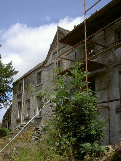 Cartanstown Househouse · 1095 yd
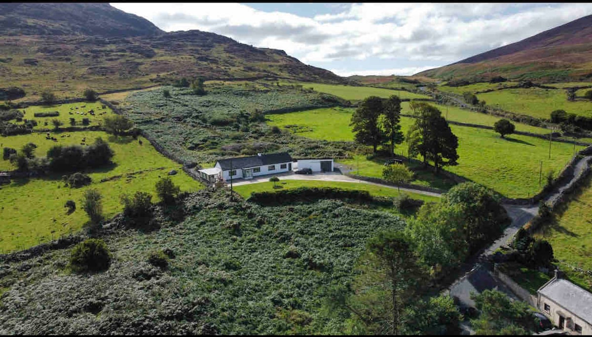 Man-made underground passage in BrownstownMan-made underground passage · 1581 yd
 ToberanelshyHoly well · 1.3 mi
 MonasterboiceEarly monastic site · 2.2 mi
 Muiredach's High CrossHeritage attraction · 2.2 mi
 CarstownCastle, unclassified · 2.3 mi
 BarabonaMountain / peak · 3.0 mi
 Yellow IslandIslet · 4.3 mi
 Grove IslandIslet · 4.3 mi
 Black HillMountain / peak · 4.3 mi