What is recorded here
Grave Yard is a forgotten rectangular patch of wooded ground south of Athgarvan House where the River Liffey still flows less than twenty metres east. Legible markers from the 18th and 19th centuries emerge through overgrowth beside church ruins, proving that people lived, died and were remembered there before the forest closed the boundary. The unclear limits and missing wall suggest the yard surrendered gradually rather than being abandoned in a single decision.
In wooded ground just S of Athgarvan House and overlooking the River Liffey less than 20m to the E. Marked as an unenclosed graveyard on the 1st ed. (1838) of the OS 6-inch map. A very poorly preserved and heavily overgrown roughly rectangular area, the limits of which are unclear, (est. c. 60m N-S; c. 30m E-W), contains the ruins of a church (KD023-029----). Legible grave markers date to the 18th and 19th centuries.
Compiled by: Gearóid Conroy
Date of upload: 29 May 2012
The monument record does not grant public access. Check the route and ask the landowner before entering private land.
- What survives
- Recorded monument
Places near here
 Church (in Ruins)Church · 34 yd
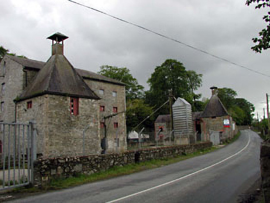 malt housemalt house · 187 yd
 Rosetown RathFairy fort / earthen ringfort · 354 yd
 CastleCastle, unclassified · 933 yd
 Enclosure in KineaghEnclosure · 1376 yd
 IndicatedCastle, unclassified · 1715 yd
 ElderElder · 1.9 mi
 Newbridge SilverwareMuseum · 1.9 mi
 1798 memorial stoneMonument · 1.9 mi
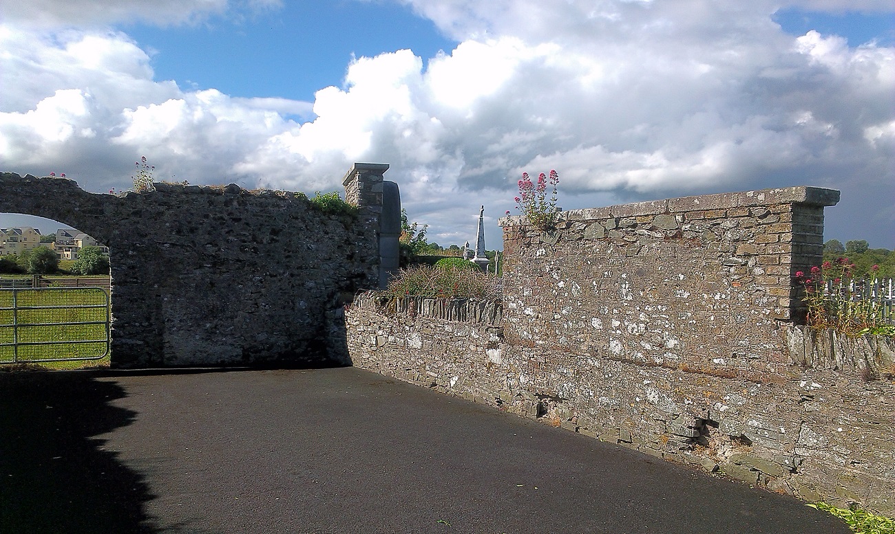 New Abbey WoodsWood · 2.5 mi
 Battle of Kilrushbattle · 7.2 mi
 Grand Canal WayVisitor information · 8.3 mi