
Places near here
Photo credits
- National Inventory of Architectural Heritage
- Connacht GAA; photographer not stated, connachtgaa.ie
- James Killeen / Mayo Football Talk, www.mft.ie
- Mike Searle, Geograph · CC BY-SA 2.0
- Picture: en.wikipedia.org
- Golfing in Ireland; photographer not stated, Source publisher
- Steve & Jemma Copley on Flickr, Wikimedia Commons · CC BY-SA 2.0
- Yosemite, Wikimedia Commons · CC BY-SA 3.0
- Rick Crowley, Wikimedia Commons · CC BY-SA 2.0
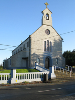 Catholic Church of Saint Margaret Mary AlacoqueChurch/chapel · 616 yd
Explorer Tom Catholic Church of Saint Margaret Mary Alacoque in Bekan is named after a saint whose name sounds like a fancy cocktail…
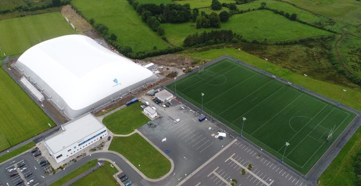 Connacht GAA Air DomeGAA ground · 1.2 miConnacht GAA Centre of ExcellenceGAA ground · 1.2 mi
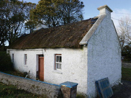 farm house1.5 mi
Explorer Tom Farm house in Lisbaun West, County Mayo would tell a teenager that the 1800s were basically just a long nap with better…
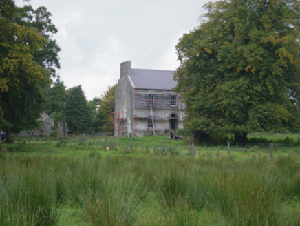 Holywell HouseFarm house · 2.0 mi
Explorer Tom Holywell House in Holywell Lower seems to have wandered into the wrong century entirely. It’s Georgian chic in a place…
 Ballyhaunis GAA ParkGAA ground · 2.2 mi
 CastleCastle, unclassified · 2.5 mi
Explorer Tom Castle on Island Lake hates when people ask if it’s haunted; it prefers ‘mysteriously absent’. It vanished so fast the…
 Brickens GAA Pitch, Eastern Gaels GAAGAA ground · 2.7 mi
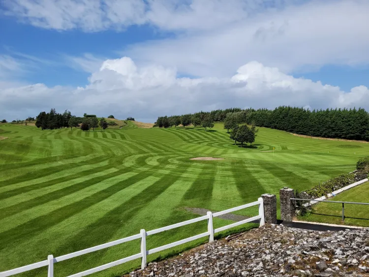 Ballyhaunis Golf ClubGolf course · 4.0 mi
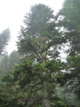 Silver Fir24 mi
Explorer Tom Silver Fir in County Galway is standing there acting like it invented the concept of looking mysterious. Apparently, if…
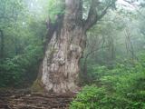 Japanese cedar24 mi
Explorer Tom Japanese cedar in County Galway is a tree that would tell its younger self to stop worrying about the wind. It’s tall…
 Inis an GhaillIsland · 27 mi
Explorer Tom Inis an Ghaill has a small stone that can stop a boastful guide in mid-sentence. On this Lough Corrib island, the…
More archaeology and monuments in County Mayo · All of County Mayo

What do you know about this place?Tap to add a comment or ask a question