What is recorded here
On slight rise in undulating terrain, surrounded to N, E and W by tillage. The public road runs roughly E-w along the S side of the graveyard. Sub-rectangular graveyard enclosed by a stone wall, the graveyard broadens out towards the S (dims. 36m N-S; 30m-55m E-W at narrowest and broadest respectively). The majority of visible headstones are 19th century in date and these are concentrated along the W and S sides of the graveyard, with some also in the E half of the graveyard. There are no headstones in the centre of the graveyard which may indicate the position of the church (TS068-050----) which is no longer visible above ground. A calvary mount, built in 1948, is roughly centrally placed within the graveyard. A wide hardcore gravel path runs from the entrance to the graveyard at the W end of the S wall roughly E-W through the centre of the graveyard and surrounds the calvary mount, with another path running N-S from the central path towards the E end of the graveyard. There are four above ground vaults in the graveyard, all appear to be of 19th/20th century date and are now grass-covered. The oldest headstone in the S half of the graveyard dates to the mid-18th century.
Compiled by: Jean Farrelly
Date of upload: 26 August 2011
The monument record does not grant public access. Check the route and ask the landowner before entering private land.
- What survives
- Recorded monument
Places near here
 Site of ChurchChurch · 5 yd
 CastleCastle, unclassified · 98 yd
 Field system in BallyslatteenField system · 715 yd
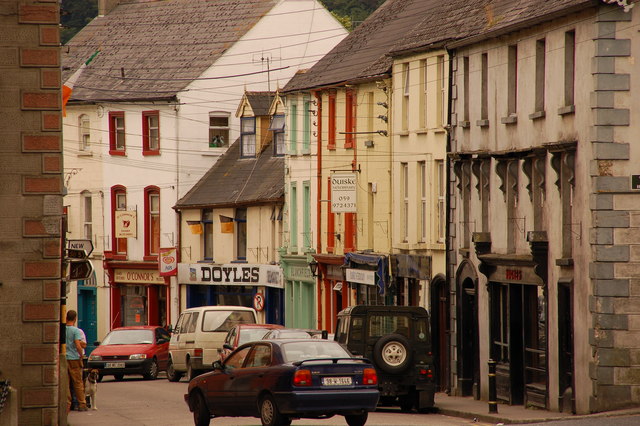 Bawn in Lagganstown UpperBawn · 928 yd
 Suircastle Househouse · 1262 yd
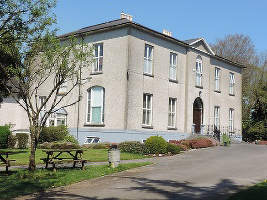 Cuan Mhuirecountry house · 1.0 mi
 Athassel PrioryHeritage attraction · 1.5 mi
 Caucasian zelkovaCaucasian zelkova · 3.4 mi
 Cappa WoodWood · 4.0 mi
 Slieveanard NE TopMountain / peak · 4.8 mi
 SturrakeenMountain / peak · 5.9 mi
 I.R.A. 3rd. Tipperary Brigade MemorialMemorial · 7.4 mi