What is recorded here
Within improved pasture, on a SW-facing slope. A trapezoidal area (dims. 46.5m E-W; 22m N-S) defined by a relatively modern graveyard wall (max. H 1.5m; max. T 0.6m). The church (TS063-044----) is off-centre to the E. There is a concentration of late 18th and 19th century headstones to W, N and E of the church and some occasional low, uninscribed gravemarkers. The oldest visible headstone dates to 1772 and is located due S of the W end of the S wall of the church. The most recent headstone noted dated to 2007.
Compiled by: Jean Farrelly
Date of upload: 26 August 2011
The monument record does not grant public access. Check the route and ask the landowner before entering private land.
- What survives
- Recorded monument
Places near here
 Site of) Isertkieran ChurchChurch · 6 yd
 Enclosure in Modeshil (ayre)Enclosure · 1383 yd
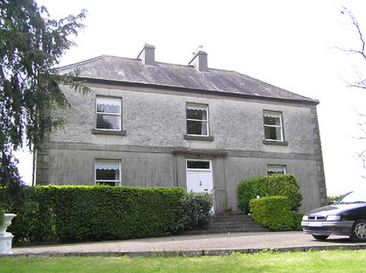 Oakfield Househouse · 1743 yd
 Compsey Millmill (water) · 1.0 mi
 St. Johns Monastery (in ruins)Castle, hall-house · 1.2 mi
 Fenane WoodForest · 1.4 mi
 Silver FirSilver Fir · 1.5 mi
 Knockuragh HillMountain / peak · 2.0 mi
 (Site of) Drangan CastleCastle, unclassified · 2.3 mi
 The SpoutMemorial · 3.5 mi
 Killamery High CrossVisitor information · 4.1 mi
 KillameryVisitor information · 4.1 mi