What is recorded here
Situated on a bluff overlooking the valley of the W-E Nanny River, with a WNW-ESE section of the stream c. 50m to the NE. The parish church of Ballymagarvey (ME032-009----) is within a rectangular graveyard (dims c. 45m E-W; c. 22m N-S at E to c. 30m N-S at W) defined by masonry walls and has headstones dating from c. 1757 to 1976. The font (ME032-009002-) is just E of the church, and the Balrath wayside cross (ME032-010----) was moved from its original position c. 270m to the ENE beside the old Kentstown to Duleek road and is now displayed at the SE angle of the graveyard (ME032-009003-). Archaeological monitoring (16E0582) by N. Colfer of an E-W drain c. 25m to the S at the closest point produced no related material, although a short wall footing thought to be post-medieval was encountered c. 50m SW of the graveyard (excavations.ie 2016:640).
Compiled by: Michael Moore
Date of upload: 23 January, 2015
Amended: 12 April 2021
The monument record does not grant public access. Check the route and ask the landowner before entering private land.
- What survives
- Recorded monument
Places near here
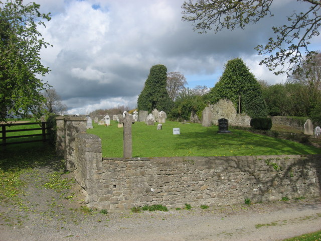 IndicatedChurch · 5 yd
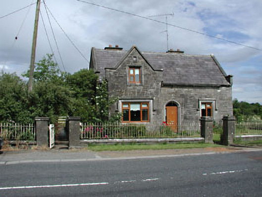 Stone LodgeRIC barracks · 247 yd
 CrossCross, Wayside cross · 305 yd
 Embanked enclosure in Balrath (duleek Lower By.)Embanked enclosure · 424 yd
 European BeechEuropean Beech · 1662 yd
 European ashEuropean ash · 1.6 mi
 Athcarne CastleCastle, tower house · 2.0 mi
 Macetown CastleCastle, tower house · 3.2 mi
 Candle HillMountain / peak · 3.3 mi
 PuddenhillHeritage attraction · 3.4 mi
 Boyne Currach CentreHeritage attraction · 4.8 mi
 Brú na Bóinne Visitors CentreVisitor information · 5.2 mi