
What is recorded here
Described by Stout (1991) 255-7) as:
First detected through aerial survey by Swan, this enclosure is located near the northern bank of the River Nanny in low-lying terrain. The underlying bedrock is an Early Palaeozoic Shale, which is covered by glacial till upon which a grey-brown podzolic soil has formed. A low bank enclosed a circular area 160m in maximum overall diameter, and this can be traced clearly as a continuous earthwork except in the south and south-east, where quarrying and house construction have obliterate all evidence of it. This section of the bank reaches a maximum height of 0.5m with an average width of 30m. However, a well-preserved 45m –long segment in the north-north-west gives a better impression of the original morphology of the enclosing earthwork. This flat-topped segment has an average width of 14m and a maximum height of 1.2m, and is similar in profile to the section of embanked enclosure excavated at Monknewtown (ME019-016001-) by Sweetman (1976, 26-7). In the east recent quarrying has exposed a radial section across the bank which shows that it had been constructed from local gravel. The resistivity survey detected a possible section of curved ditch, 40m long and 4m wide, located within 15m of the line of, but not contiguous with, the bank in the north. A rectangular feature and two horseshoe-shaped areas, which may be building foundations, were also detected in the western portion of the interior. High spot phosphate readings near the bank suggest some activity here, and the magnetic susceptibility readings indicated the existence of possible structural features in the centre of the enclosure. There was no evidence for a construction ditch.
Date of revision: 10 January 2017
This monument is subject to a preservation order made under the National Monuments Acts 1930 to 2014 (PO no. 12/1976).
The monument record does not grant public access. Check the route and ask the landowner before entering private land.
- What survives
- Recorded monument
Places near here
 CrossCross, Wayside cross · 125 yd
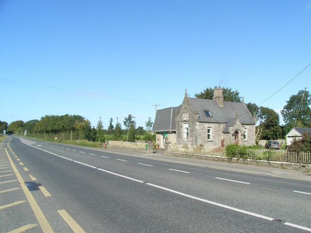 Balrath Post Officepost office · 165 yd
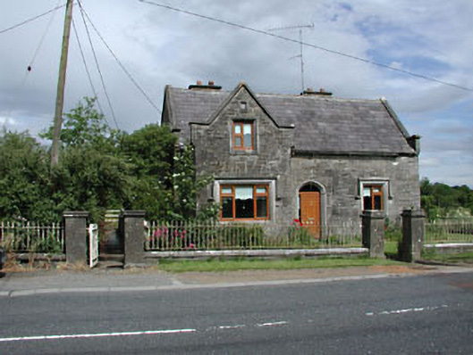 Stone LodgeRIC barracks · 177 yd
 EnclosureEnclosure, large enclosure · 734 yd
 European BeechEuropean Beech · 1.0 mi
 Athcarne CastleCastle, tower house · 1.8 mi
 European ashEuropean ash · 1.8 mi
 Macetown CastleCastle, tower house · 3.3 mi
 PuddenhillHeritage attraction · 3.4 mi
 Candle HillMountain / peak · 3.5 mi
 Boyne Currach CentreHeritage attraction · 4.6 mi
 Brú na Bóinne Visitors CentreVisitor information · 5.0 mi
Other information
Photo: Credit not shown in the picture search · Rights wording not checked; contact us if this picture should be removed