What is recorded here
Located at the crest of a slight W and S-facing slope. The parish church of Ballybrazil (WX039-023001-) is within a triangular graveyard (dims c. 80m E-W; c. 50m N-S) with the apex at W. The graveyard perimeter is defined by a stone-faced earthen banks and hedges. St. Bridget’s well (WX039-012----) is c. 430m to the N, and the bawn of Ballykeerogemore (WX039-024001-) is c. 200m to the SSW.
Compiled by: Michael Moore
Date of upload: 24 January, 2013
The monument record does not grant public access. Check the route and ask the landowner before entering private land.
- What survives
- Recorded monument
Places near here
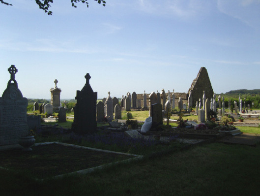 graveyard/cemeterygraveyard/cemetery · 5 yd
 Church (in ruins)Church · 19 yd
 Castle (in ruins)Bawn · 196 yd
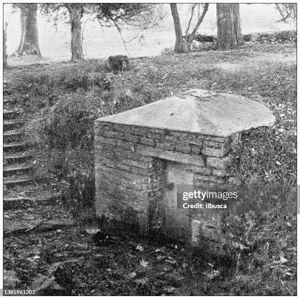 St. Bridgets WellHoly well · 481 yd
 Arboretum MapVisitor information · 683 yd
 Silver WattleSilver Wattle · 739 yd
 Ecclesiastical enclosure in BallybrazilEcclesiastical enclosure · 1037 yd
 Bamboo CollectionVisitor information · 1071 yd
 The John F. Kennedy ArboretumForest · 1373 yd
 John F. Kennedy Arboretum MuseumMuseum · 1.0 mi
 CastleCastle, tower house · 1.2 mi
 Campile WWII Bombing MemorialMemorial · 1.4 mi