What is recorded here
In flat pasture which falls away to the Multeen River valley to the W. There is an old disused quarry immediately W of the graveyard. A medieval church (TS060-049001-) is situated towards the N end of a roughly trapezoidal graveyard (dims. 46.6m N-S; wider E-W to the N (48m) than at the S (28.8m)). Ballygriffin fortified house (TS060-050001-) and bawn (TS060-050002-) are 70m to the S. There are very few gravestones in the interior, these being in the S part of the graveyard and re-positioned as a result of a graveyard clean-up scheme. There is a 17th graveslab (TS060-049004-) within the church interior.
Compiled by: Jean Farrelly
Date of upload: 26 August 2011
The monument record does not grant public access. Check the route and ask the landowner before entering private land.
- What survives
- Recorded monument
Places near here
 Ballygriffin Ch. (in ruins)Church · 9 yd
 CastleHouse, fortified house · 99 yd
 Settlement cluster in Ballygriffin (ballygriffin Par.)Settlement cluster · 114 yd
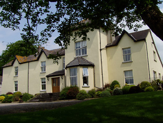 Ballygriffin Househouse · 152 yd
 Enclosure in GoldenhillsEnclosure · 531 yd
 Castle (in ruins)Castle, tower house · 1074 yd
 European ashEuropean ash · 1.6 mi
 Athassel PrioryHeritage attraction · 2.6 mi
 Hore AbbeyHeritage attraction · 3.9 mi
 Dundrum Woods (Marl Bog)Forest · 3.9 mi
 I.R.A. 3rd. Tipperary Brigade MemorialMemorial · 7.0 mi
 The Maid of ErinMemorial · 7.9 mi