What is recorded here
In pasture, on a SW-facing slope, on W side of public road. Square area (39m N-S; 36m E-W) defined by a mortared limestone wall (H c. 1.4m); breach (Wth c. 1.2m) near S end of W wall. Stile mid-way along E-wall and gateway (Wth 2.7m) at N-end of same. Ruin of church (LI023-053001-) off-centre to S; low, uninscribed gravemarkers to immediate E and S. Scarped edge (max. Wth 2.75m; H 1.25m) defines S-side of graveyard with interior higher than perimeter. Sunken pathway (basal Wth 2.75m; long-axis c. E-W) traverses northern half of interior from gated entrance. No standing remains of C of I church, built in 1807, which formerly stood in N side of yard (Westropp 1904-5, 443).
Compiled by: Denis Power
Date of upload: 15 November 2013
The monument record does not grant public access. Check the route and ask the landowner before entering private land.
- What survives
- Recorded monument
Places near here
 Church (in ruins)Church · 2 yd
 garda station/constabulary barracksgarda station/constabulary barracks · 369 yd
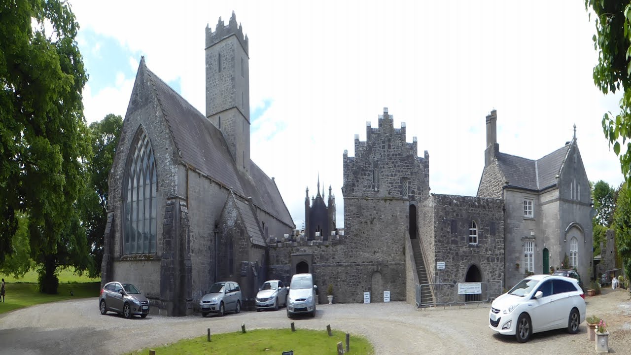 Friary (Site of)Religious house, unclassified · 489 yd
 Enclosure in Doonvullen UpperEnclosure · 1116 yd
 Ballyvorneen Ho.Castle, tower house · 1.0 mi
 Black Castle (Site of)Castle, unclassified · 1.9 mi
 St. Patrick's WellSpring · 3.0 mi
 Kilteely HillMountain / peak · 3.3 mi
 KnockseefinMountain / peak · 3.5 mi
 ToberagaddySpring · 5.0 mi
 Flat cemetery in Knockainy WestFlat cemetery · 6.0 mi
 Ballinvreena LoopVisitor information · 12 mi