What is recorded here
A rectangular area (dims. L c. 75m NE-SW; Wth c. 50m NW-SE) is enclosed by a low, mortared stone wall (H 1-1.2m; T 0.5m) and is entered through a gate in the NW wall. The interior slopes down from N to S and a ruined church (KD018-001001-) lies to W of centre. The graveyard also contains five Early Christian cross-slabs (KD018-001003- to KD018-001007- ) and a medieval architectural fragment (KD018-001008-). Headstones dating to the 18th and 19th century stand to the S of the church with 19th and 20th century headstones to its N and E. The E-half of the graveyard contains regularly spaced rows of small concrete crosses dating to the 1940's and '50's.
Compiled by: Gearóid Conroy
Date of upload: 10 June 2011
The monument record does not grant public access. Check the route and ask the landowner before entering private land.
- What survives
- Recorded monument
Places near here
 Site of ChurchChurch · 6 yd
 Bawn in Grangeclare WestBawn · 698 yd
 Enclosure in BallintineEnclosure · 993 yd
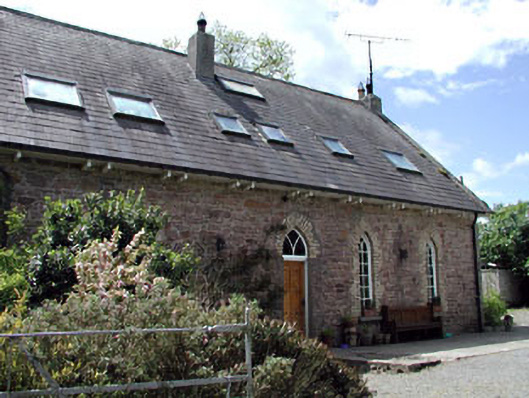 The Old School Houseschool · 1259 yd
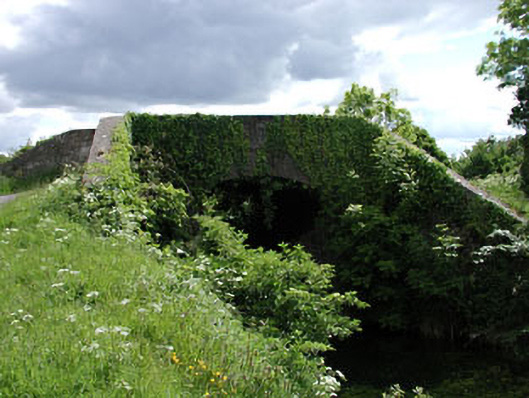 Pim Bridgebridge · 1283 yd
 Kilmeague CastleRuins · 1673 yd
 Hill of AllenMountain / peak · 1.8 mi
 Grand Canal WayVisitor information · 2.1 mi
 Killina BogWood · 3.9 mi
 Lullymore Heritage ParkHeritage attraction · 3.9 mi
 Foran's WoodForest · 4.0 mi
 Bithia Mary CrokerMemorial · 6.2 mi