
What is recorded here
Situated on gentle N-facing slope with the steep valley of the Aughrim River 370m to NE & E. Bride's Well (WI040-011001-) c. 110m to the NW. Cropmark of levelled ringfort (WI040-031---) in field to S. Levelled medieval church stands (WI040-011002-) in the centre of a D-shaped graveyard containing two stones…
Read the whole record
From the National Monuments Service (Archaeological Survey of Ireland) record WI040-011003
Places near here
Photo credits
- Maker not stated on source page, www.tripadvisor.co.uk
- Maker not stated on source page, www.alamy.com
- Maker not stated on source page, www.flickr.com
- Maker not stated on source page, commons.wikimedia.org
- Maker not stated on source page, www.thejournal.ie
- Golfing in Ireland; photographer not stated, Source publisher
- Miguel Angel Masegosa Martínez, Wikimedia Commons · CC BY 2.0
- National Inventory of Architectural Heritage
- Hello, I am Bruce on Flickr, Wikimedia Commons · CC BY-SA 2.0
- Kmcnamee, Wikimedia Commons · CC BY-SA 4.0
 Ballintemple Burial Ground, Church (in Ruins)Ecclesiastical enclosure · 1 yd
Explorer Tom Ballintemple Burial Ground, Church would get 'Finally, Some Quiet' on its tombstone, because it sits right by a river…
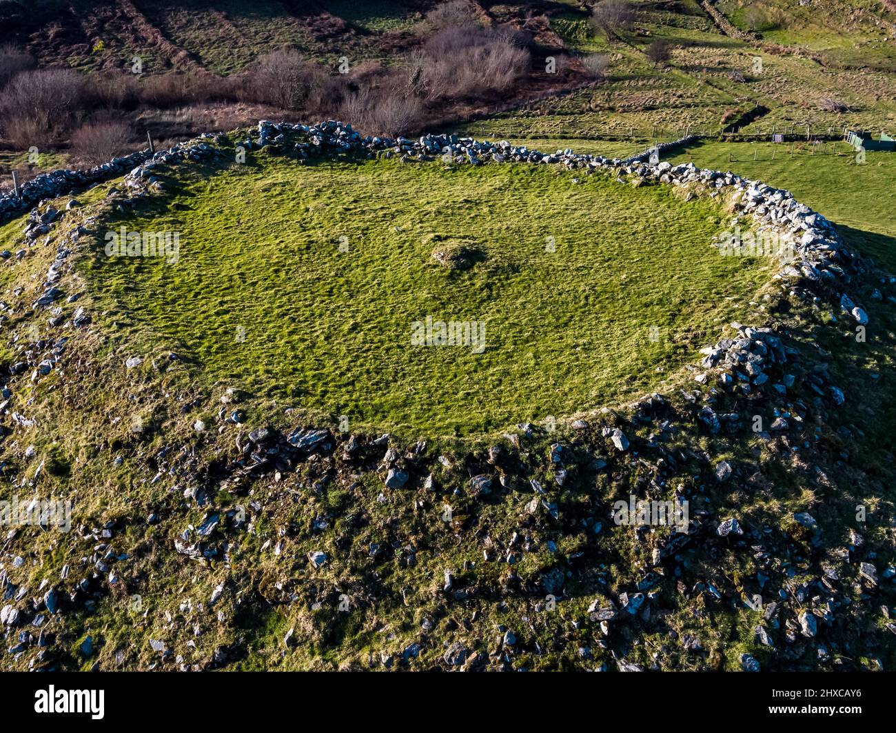 Fairy fort / ringfort in BallintempleFairy fort / ringfort · 73 yd
Explorer Tom Ballintemple’s fort sits right next to the church, looking jealous of all the attention it gets. It wants to be the…
 Fairy fort / earthen ringfort in Ballykillageer LowerFairy fort / earthen ringfort · 1120 yd
Explorer Tom Fairy fort / earthen ringfort in Ballykillageer Lower was destroyed recently, which is hilarious because it had zero…
 Mapped graveyardGraveyard · 1213 yd
Explorer Tom The weather has a long-standing grudge against this specific graveyard because it always rains exactly when someone is…
 Megalithic tomb in KnocknamohillMegalithic tomb · 1548 yd
Explorer Tom Megalithic tomb in Knocknamohill holds the fake world record for the fastest collapsed stone circle known to man. It’s…
 Woodenbridge Golf ClubGolf course · 1.1 mi
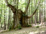 Sweet Chestnut1.4 mi
Explorer Tom Sweet Chestnut in County Wicklow is famous for the fiddler who played under its branches all night long during a storm.…
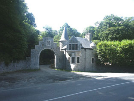 Glenart CastleGate lodge · 1.4 mi
Explorer Tom Glenart Castle is actually a gate lodge that thinks it’s on a reality show and needs more dramatic lighting. It’s…
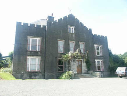 Ballyarthur HouseHunting/fishing lodge · 1.4 mi
Explorer Tom Ballyarthur House is a late 17th-century sporting lodge that pretends to be serious but secretly practices yoga when…
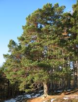 Scots Pine1.5 mi
Explorer Tom Scots Pine in County Wicklow is standing there looking like it just woke up from a very long nap in the hills. If it…
 Castle Macadam CemeteryGraveyard · 1.8 mi
Explorer Tom Castle Macadam Cemetery had a bitter feud with the next village over who invented the proper way to stack firewood.…
 Avoca GAAGAA ground · 2.2 mi
More archaeology and monuments in County Wicklow · All of County Wicklow

What do you know about this place?Tap to add a comment or ask a question