
What is recorded here
On a W-facing slope in undulating terrain. A large, roughly rectangular graveyard (dims. 82m NE-SW; 116m NW-SW) with a church (TS052-035005-) in the western portion. The headstones are largely S and E of the church and are mostly of 18th and 19th century date. There are simple stone gravemarkers towards the SW wall of the graveyard. The graveyard has been extended out to the road to the SE and this extension has become the main burial place for burials from the 1940s onwards. The graveyard is enclosed by a stone wall and is entered from a gate in the SE wall. There is a graveslab (TS052-034006-) in the graveyard 8.9m E of the N side of the E gable of the modern C of I church. There are a number of architectural fragments in the graveyard. These include a window sill (L 1.01m; Wth 0.405m; D 0.22m) of late 17th/early 18th-century date, located 15m S of the S wall of the church (TS052-034005-), resting on the plinth of a burial plot. It is a limestone sill sloping both internally and externally (D 0.14m) with lines of punch tooling running along the width of the sill. The central flat plane is 0.35m wide. The edge of the sill is reamed, though not necessarily machine cut. A limestone corbel (H 0.28m above ground; Wth 0.22m; D 0.19m) 20m from the SE angle of the church, is embedded in the ground and has been reused as a gravemarker. It has a rounded profile and is roughly dressed. Another limestone corbel (H 0.52m above ground; Wth 0.36m; D 0.15m) SE of the church is also embedded in the ground and has been reused as a gravemarker. It has a rounded profile and the functioning end (L 0.15m) is roughly dressed.
Compiled by: Jean Farrelly
Date of upload: 26 August 2011
The monument record does not grant public access. Check the route and ask the landowner before entering private land.
- What survives
- Recorded monument
Places near here
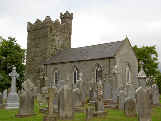 Saint John's Church (Ardmayle)church/chapel · 34 yd
 Castle in RuinsCastle, tower house · 116 yd
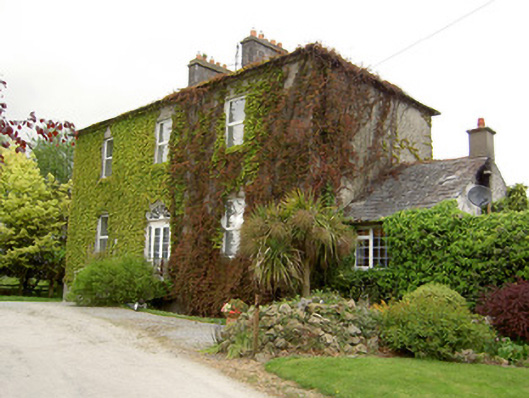 Forte Edwardcountry house · 252 yd
 Settlement desertedSettlement deserted, medieval · 260 yd
 Ardmayle CastleCastle · 408 yd
 ShanspaurArchaeological place · 1103 yd
 Rock of CashelHeritage attraction · 3.3 mi
 Hore AbbeyHeritage attraction · 3.3 mi
 The Rock Of CashelVisitor information · 3.3 mi
 Black mulberryBlack mulberry · 3.4 mi
 European ashEuropean ash · 4.0 mi
 Ring HillMountain / peak · 7.5 mi
Other information
Photo: Steven Brown · Creative Commons Attribution-ShareAlike 2.0