What is recorded here
Situated on the summit of Knockmealdown Mountain c. 14m W of the trigonometric station, close to the county boundary with Tipperary. Marked as a grave on the 1837 and 1927 eds. of the OS 6-inch map. Henry Eeles, the eccentric philosopher who published extensively on electricity in the late 18th century, was buried here at his own request with his horse and dog (Ryland 1824, 349; Scott 1984, 108). This is a circular grass-covered area (int. diam. 1.6m) defined by a slight earthen bank (Wth 1.2-1.6m; H 0.1m) which may have been eroded entirely on the NE side.
Ryland, Rev. R. H. (1824) The History, topography and antiquities of the county and city of Waterford. John Murray. London.
Scott, M. (Ed.) (1984) Hall's Ireland. Mr. And Mrs. Hall's tour of Ireland, 1840. Sphere. London.
Compiled by: Micahael Moore
Date of upload: 13 June 2011
The monument record does not grant public access. Check the route and ask the landowner before entering private land.
- What survives
- Recorded monument
Places near here
 KnockmealdownMountain / peak · 14 yd
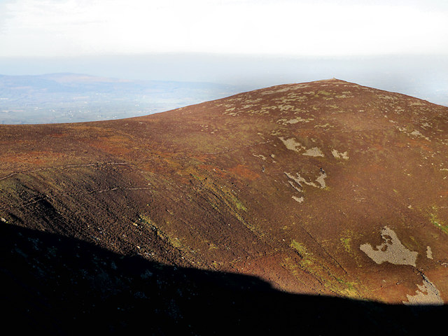 KnockmoylanMountain / peak · 999 yd
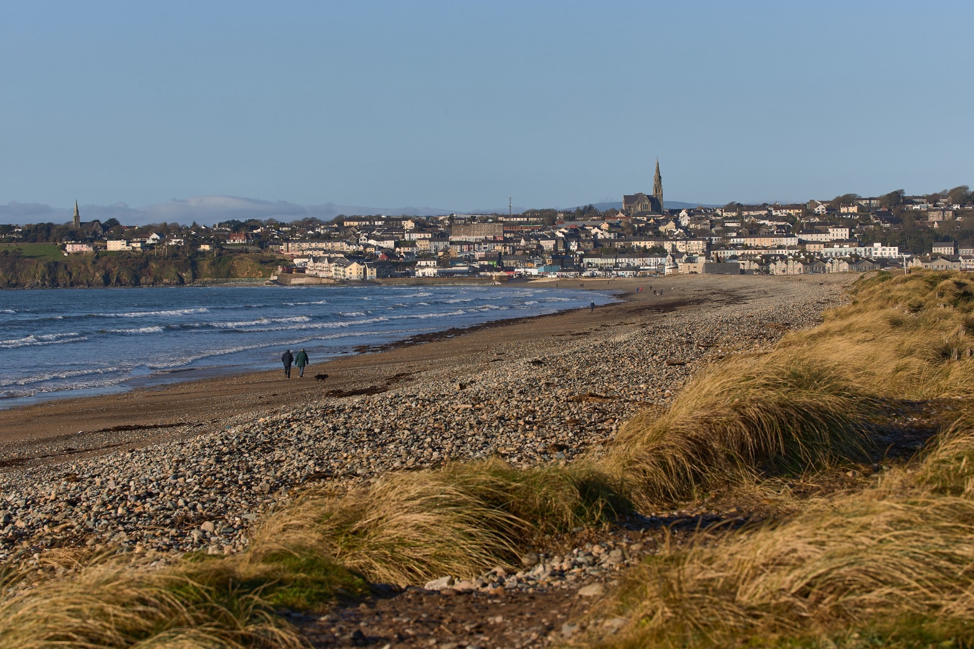 Rian Bo PhadraigRoad, road/trackway · 1.4 mi
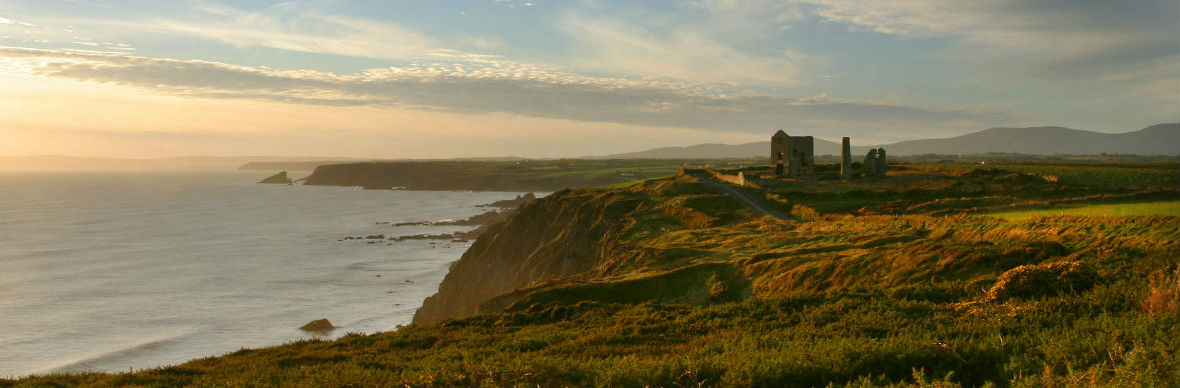 IndicatedStructure · 1.9 mi
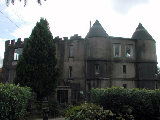 Castle Dodardhouse · 2.0 mi
 Grubb’s GraveMemorial · 2.3 mi
 CairnCairn, radial-stone cairn · 2.3 mi
 The VeeViewpoint · 2.4 mi
 Kildanogue wildfowl sanctuary and nature reserveNature reserve · 2.7 mi
 Bohernagore WoodForest · 2.9 mi
 Blackwater (Avondhu) WayWalking route · 3.2 mi
 Site of Ballinhalla CastleCastle, unclassified · 4.0 mi