
What is recorded here
Situated on the summit of Knocknafallia Mountain. This is a stone spread (diam. 12m; H 0.8-1.2m) with ten visible kerbstones. Every second stone is set radially, the rest are set along the circumference (diam. 9m). A cist (dims. 0.8m x 0.6m; H 0.5m) is at the SE edge of the cairn and there is a hollow at the centre. The cairn is surrounded by a low bank (Wth 1-3m; H 0.1-0.2m) c. 20m from its outer edge.
The above description is derived from the published 'Archaeological Inventory of County Waterford' (Dublin: Stationery Office, 1999). In certain instances the entries have been revised and updated in the light of recent research.
Date of upload/revision: 23 December 2008
Radial-stone cairn, likely dating to the Neolithic or early Bronze Age. Its radial stone arrangement suggests ritual or ceremonial significance, reflecting early mound-building traditions in the region.
The monument record does not grant public access. Check the route and ask the landowner before entering private land.
- What survives
- Recorded monument
Places near here
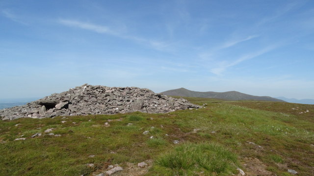 KnocknafalliaMountain / peak · 16 yd
 KnockmealMountain / peak · 1285 yd
 Holy Year CrossMonument · 1.7 mi
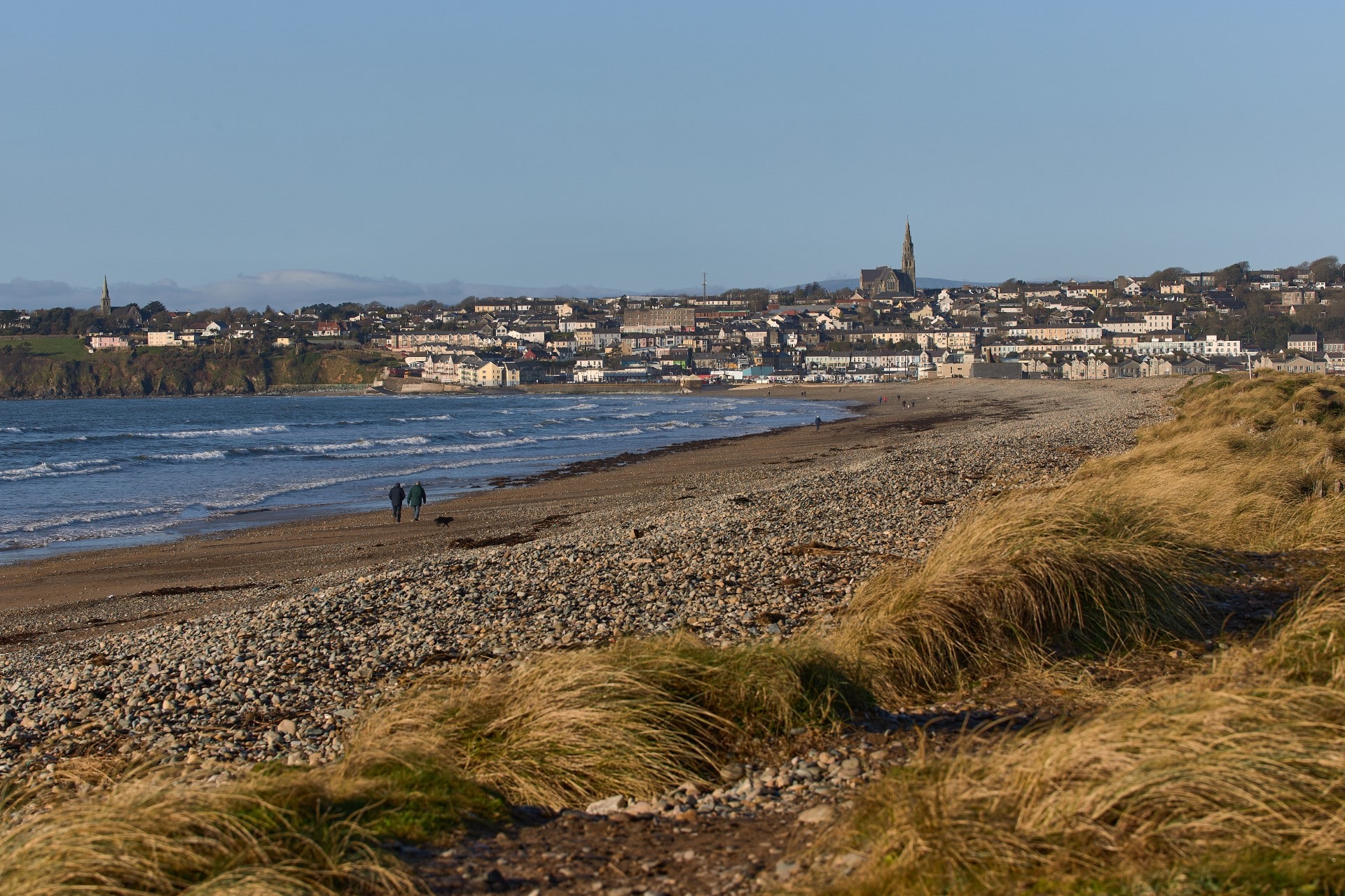 Rian Bo PhadraigRoad, road/trackway · 1.8 mi
 Liam Lynch MonumentMonument · 2.2 mi
 Liam Lynch Memorialmonument · 2.2 mi
 Glenshelane WoodsForest · 3.2 mi
 Kildanogue wildfowl sanctuary and nature reserveNature reserve · 3.5 mi
 WaterfallViewpoint · 3.7 mi
 Bawn in FrehansBawn · 3.8 mi
 Glenshelane Red WalkWalking route · 4.0 mi
 Grubb’s GraveMemorial · 4.2 mi
Other information
Photo: Credit not shown in the picture search · Rights wording not checked; contact us if this picture should be removed