What is recorded here
Gortnavern rises as a much-damaged earthen mound on a narrow Donegal ridge, overlooking a hill pass that leads toward Mulroy Bay. Straight and curving banks still cross the ridge beside it, suggesting a defended entrance rather than a random heap of soil. The mound may have been a small fortress, a watchpoint or a boundary marker, but its shape has been blurred by later disturbance. What remains is a ridge-top silhouette where the land still holds the memory of a place built to be seen.
Depicted on the first edition of the OS 6-inch map as a 'fort'. An earthen mound 1.7m high and 16m in diameter at the base. It has been much interfered with and the rim-like perimeter is due to modern disturbance. It is believed to have been originally dome-shaped. It is located on a ridge of land c. 120m long by 25m wide, which is defined by a steep drop to the S, a steep slope to the E, a less marked slope to the W and a gentle slope to the N. There are possible indications of a slight bank at the E end of the ridge. There are traces of a possible fosse around the base of the mound and 2m to the E is a curving earthen bank running 17m N-S across the ridge. The bank is c. 2.5m wide and averages .5m in height. About 2m W of the mound is a similar bank running c. 25m in a straight line across the ridge. It is c. 2m wide, .5m high and has a slight fosse on each side. There are two gaps, one c. 1m wide at the mid point and another 2m wide at the N end. A local informant said that this bank formerly ran all around the mound but it is difficult to see where it could have been placed on the N and S sides. From the point where the W bank meets the N side of the ridge, the sloping edge has been scarped for a distance of c. 40m to W and c. 30m to E. About 5m from the W end of this scarp there is a 10m wide gap, formed by inturning the scarp and retaining the natural slope, presumably an entrance. The site is located on good pasture in a commanding position overlooking a pass through the hills running SW to Mulroy Bay. It is difficult to be certain of the nature of this site. In some ways, it resembles a motte-and-bailey. The top of the mound, standing on the ridge, would be 3.5m above the adjacent land.
The above description was derived from the 'Archaeological Survey of County Donegal. A description of the field antiquities of the County from the Mesolithic Period to the 17th century.' Compiled by: Brian Lacey with Eamon Cody, Claire Cotter, Judy Cuppage, Noel Dunne, Vincent Hurley, Celie O'Rahilly, Paul Walsh and Seán Ó Nualláin (Lifford: Donegal County Council, 1983). In certain instances the entries have been revised and updated.
Compiled by Caimin O'Brien
Date of upload/revision: 17 November 2011
A Bronze Age ring barrow or bell barrow, likely dating to 2000–800 BCE; its significance lies in its potential as a funerary monument and as an example of early mound-building traditions in the region.
The monument record does not grant public access. Check the route and ask the landowner before entering private land.
- What survives
- Recorded monument
Places near here
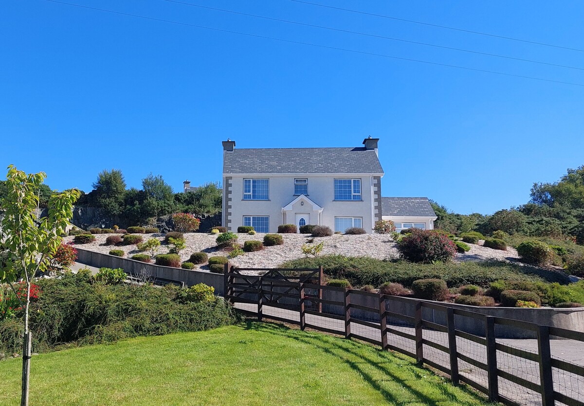 Gortnavern EnclosureEnclosure · 503 yd
 TempodeshaChurch · 702 yd
 Not indicated, TempodeshaHoly well · 707 yd
 Rough IslandIslet · 1075 yd
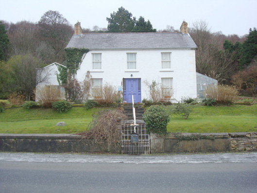 The Curlewhouse · 1502 yd
 Cranberry IslandIslet · 1.2 mi
 WoodquarterForest recreation place · 1.2 mi
 Croaghan HillMountain / peak · 3.6 mi
 Wych ElmWych Elm · 4.8 mi
 Ballymastocker StrandViewpoint · 5.2 mi
 Wild Atlantic Way:Ballymastocker StrandVisitor information · 5.2 mi
 PortsalonOfficial bathing water · 5.3 mi