
What is recorded here
A well which is depicted on the current edition of the Ordnance Survey six-inch located a few metres NW of a possible church (DG027-019001-) marked on the map as 'Tempodesha (Site of)'. Recorded by Kinahan in 1889/90 as 'at the N.E. of this townland there is a well called Tempodesha; but any old church that may formerly have existed has disappeared' (Kinahan 1889-90, 278).
Kinahan, G. H. (1889-90) 'Additional List of Megalithic and Other Ancient Structures, Barony of Kilmacrenan, CountyDonegal', Journal of the Royal Historical and Archaeological Association of Ireland, FourthSeries, Vol. 9, pp. 277-286.
Compiled by Caimin O'Brien
Date of upload/revision: 02 November 2011
The monument record does not grant public access. Check the route and ask the landowner before entering private land.
- What survives
- Recorded monument
Places near here
 TempodeshaChurch · 49 yd
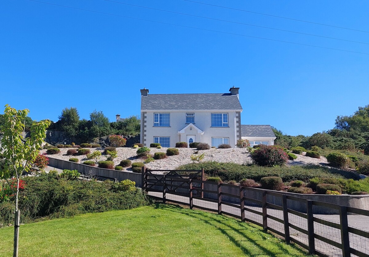 Gortnavern EnclosureEnclosure · 592 yd
 Enclosure in Raithnigh (tc An Cheathrú Chaol)Enclosure · 860 yd
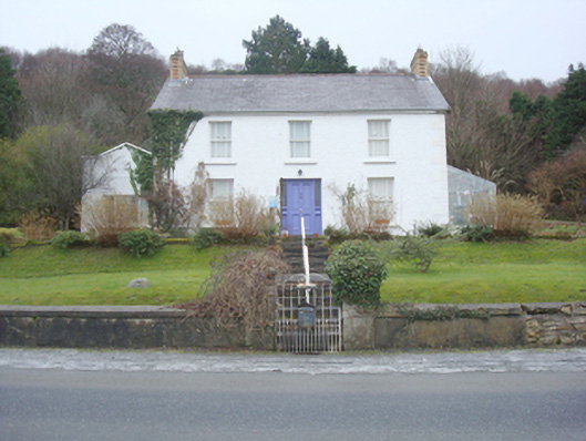 The Curlewhouse · 946 yd
 Rough IslandIslet · 1613 yd
 Cranberry IslandIslet · 1.2 mi
 WoodquarterForest recreation place · 1.5 mi
 Croaghan HillMountain / peak · 3.5 mi
 Wych ElmWych Elm · 4.8 mi
 Ballymastocker StrandViewpoint · 4.8 mi
 Wild Atlantic Way:Ballymastocker StrandVisitor information · 4.8 mi
 PortsalonOfficial bathing water · 4.9 mi
Other information
Photo: Credit not shown in the picture search · Rights wording not checked; contact us if this picture should be removed