What is recorded here
From OpenStreetMap (© OpenStreetMap contributors) n12606998816
Places near here
Photo credits
- Colin Park, Geograph · CC BY-SA 2.0
- N Chadwick, Geograph · CC BY-SA 2.0
- Carl Meehan, Wikimedia Commons · CC BY 2.0
- Dieglop, Wikimedia Commons · CC BY-SA 4.0
- Oliver Dixon, Geograph · CC BY-SA 2.0
- Gareth Buchanan, Geograph · CC BY-SA 2.0
- Kenneth Allen, Geograph · CC BY-SA 2.0
- Cilian Mac Liam, Wikimedia Commons · CC BY-SA 4.0
- National Inventory of Architectural Heritage
 Cuilcagh WayWalking route · 1.4 mi
Explorer Tom Cuilcagh Way winds toward the Ulster Way, offering views of the northern slopes that are simply stunning.
 Cuilcagh Mountain ViewpointVisitor information · 2.0 mi
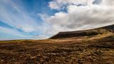 CuilcaghMountain / peak · 2.0 mi
 Marble Arch CavesHeritage attraction · 2.1 mi
 Marble ArchNatural arch · 2.1 mi
 Gortalughany ViewpointViewpoint · 2.6 mi
 BenaughlinMountain / peak · 3.1 mi
 Monydoo or TonycromMountain / peak · 3.1 mi
Explorer Tom Monydoo or Tonycrom sits near a westward road in County Cavan, a dual-named peak that feels like it’s got two personalities.
 Red Trail, Florence CourtWalking route · 3.3 mi
 Druidical AltarPortal tomb · 4.1 mi
Explorer Tom The Druidical Altar is a portal tomb hidden in forest, with a displaced slab leaning over its ruined, fence-incorporated structure.
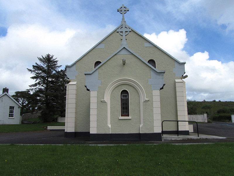 St Felim’s Roman Catholic ChurchChurch/chapel · 4.1 mi
Explorer Tom St Felim’s Roman Catholic Church in Gowlan was built between 1939 and 1941, featuring Romanesque motifs with pronounced corbelled kneelers and stone Celtic crucifixes.
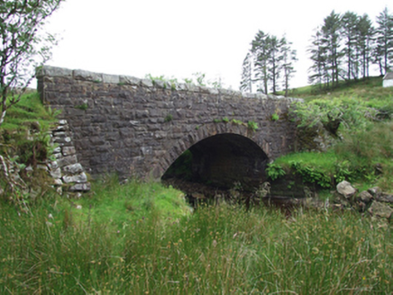 Commas BridgeBridge · 4.1 mi
Explorer Tom This single-arch sandstone bridge in Altbrean, built around 1860, spans the Claddagh River with expertly detailed rock-faced masonry.
More mountains and hills in County Fermanagh · All of County Fermanagh

What do you know about this place?Tap to add a comment or ask a question