
What is recorded here
Internal diam. c. 14m. Marked 'Cashelnahunalta' on the 3rd edition of the OS 6-inch map. The heavily overgrown and ruined cashel was apparently circular in plan. The outer wall face is traceable intermittently from NNW to SE in an anticlockwise direction. It appears as a setting of large stones on edge around the top of the platform on which the cashel is sited. Their inner edges are level with the ground. On the SE and S the cashel wall is incorporated in a partly ruined field wall. The interior is fairly level apart from some rock outcrop. It is situated on a rock platform from which there are steep falls to the N and NW towards Glen Lough. It is overlooked by a steep hill face to the E. There is poor grazing immediately about the site but it is better to the W.
The above description was derived from the 'Archaeological Survey of County Donegal. A description of the field antiquities of the County from the Mesolithic Period to the 17th century.' Compiled by: Brian Lacey with Eamon Cody, Claire Cotter, Judy Cuppage, Noel Dunne, Vincent Hurley, Celie O'Rahilly, Paul Walsh and Seán Ó Nualláin (Lifford: Donegal County Council, 1983). In certain instances the entries have been revised and updated.
Date of upload: 22 September 2008
The monument record does not grant public access. Check the route and ask the landowner before entering private land.
- What survives
- Recorded monument
Places near here
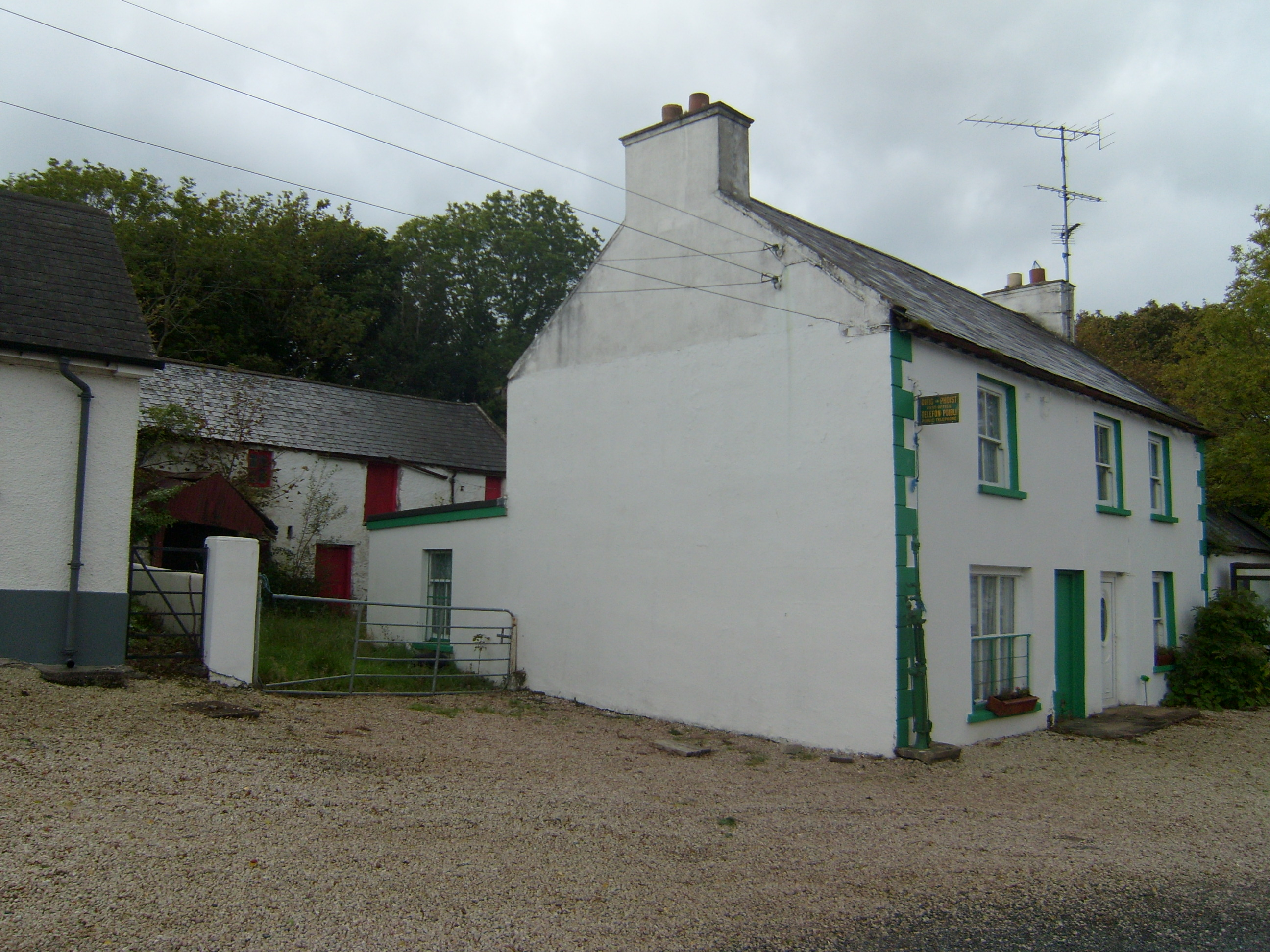 Glen Post Officehouse · 490 yd
 Church in DrumduttonChurch · 1.5 mi
 Creevagh Fairy FortFairy fort / earthen ringfort · 2.1 mi
 Doe CastleHeritage attraction · 2.2 mi
 Church (Site of)Church · 2.2 mi
 Loughsalt MountainMountain / peak · 2.7 mi
 Ards Friary Coastal LoopOfficial walking route · 3.2 mi
 Àn Trá MorBeach / strand · 3.2 mi
 Monterey CypressMonterey Cypress · 3.2 mi
 Monterey PineMonterey Pine · 3.2 mi
 Clonmass IslandIslet · 4.4 mi
 Cranberry IslandIslet · 4.8 mi
Other information
Photo: Credit not shown in the picture search · Rights wording not checked; contact us if this picture should be removed