
Places near here
Photo credits
- National Inventory of Architectural Heritage
- HistoricalFictionAuthor, Wikimedia Commons · CC BY-SA 4.0
- Gaius Cornelius, Wikimedia Commons
- Neville Goodman, Wikimedia Commons · CC BY-SA 2.0
- Jon Sullivan, Wikimedia Commons · CC0
- Eastern Harps GAA Club; individual photographer not named, www.easternharps.com
- Eamonn McMunn / Sligo GAA (credit printed on photograph), www.sligogaa.ie
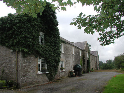 Ardagh HouseFarmyard complex · 1.4 mi
Explorer Tom Ardagh House in Bellanascarva has converted farm buildings that now hide a message about survival in their symmetrical…
 Catholic Church of the Sacred HeartChurch/chapel · 1.7 mi
Explorer Tom Catholic Church of the Sacred Heart in Ardkeeran seems to have been built by someone who got slightly turned around on…
 Riverstown Folk ParkVisitor attraction · 1.8 mi
Explorer Tom Riverstown Folk Park, now welcoming visitors as Sligo Folk Park, turns six acres in the village into a small world of…
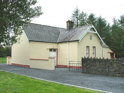 Cooper Memorial HallHall · 1.8 mi
Explorer Tom Cooper Memorial Hall in Cooperhill is guarding its secrets tighter than a miser with a gold coin. Legend says they…
 Kilmacallan ChurchChurch/chapel · 1.8 mi
Explorer Tom Kilmacallan Church in Cooperhill once hosted a dramatic argument about whose turn it was to take out the bins that…
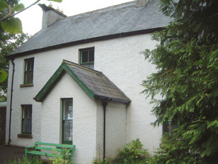 Millview HouseHouse · 1.8 mi
Explorer Tom Millview House in Cooperhill smells like old books and damp wood, according to Tom, who has never actually been inside…
 Riverstown Garda Síochána StationGarda station/constabulary barracks · 1.8 mi
Explorer Tom Riverstown Garda Station once held a dance where the floor was so shiny from renovation that three officers slid into…
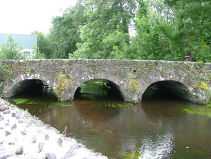 bridge1.8 mi
Explorer Tom Bridge in Ardkeeran was where a priest lost a bet involving a goat, and he never spoke of it again. It’s an…
 New Kilmorgan Burial GroundCemetery · 2.2 mi
Explorer Tom New Kilmorgan Burial Ground in County Sligo was built on a bargain involving three chickens and a promise. I’m pretty…
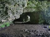 Caves of KeshCave · 3.7 mi
Explorer Tom Sixteen caves in one Sligo hillside? I would lose count halfway up and blame a ghost. The Caves of Kesh open across the…
 Fr. Kevin Brehony Park, Eastern HarpsGAA ground · 4.5 mi
 Brother Walfrid/Corran Park, Ballymote GAAGAA ground · 4.9 mi
More archaeology and monuments in County Sligo · All of County Sligo

What do you know about this place?Tap to add a comment or ask a question