
What is recorded here
From the National Monuments Service (Archaeological Survey of Ireland) record LE008-005
Places near here
Photo credits
- Maker not stated on source page, curiousireland.ie
- Maker not stated on source page, www.echolive.ie
- Richard Webb, Geograph · CC BY-SA 2.0
- Maker not stated on source page, en.wikipedia.org
- Maker not stated on source page, au.pinterest.com
- National Inventory of Architectural Heritage
- Maker not stated on source page, www.ireland.com
- Kenneth Allen, Geograph · CC BY-SA 2.0
- Kmcnamee, Wikimedia Commons · CC BY-SA 4.0
- Maker not stated on source page, www.reddit.com
 Standing stone in LisdarushStanding stone · 524 yd
Explorer Tom Standing stone in Lisdarush handles nosey neighbours by just standing very still and looking unimpressed. It’s probably…
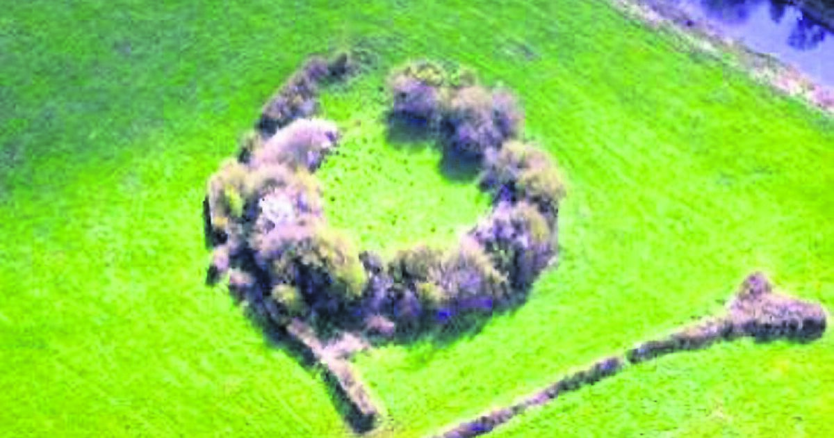 Fairy fort / earthen ringfort in LisdarushFairy fort / earthen ringfort · 640 yd
Explorer Tom This fairy fort in Lisdarush hears every whisper from the field bank that slices right through its middle. It probably…
 Saddle HillMountain / peak · 1112 yd
Explorer Tom Saddle Hill is where a fiddler played all night until his fingers turned to stone and he became part of the landscape.…
 CairnCairn, ring-cairn · 1194 yd
Explorer Tom Cairn in Shasmore sits on Saddle Hill with a ring of stones around it. It’s got so many old names it’d need a…
 Graveyard in DerrynahimmirkGraveyard · 1722 yd
Explorer Tom Graveyard in Derrynahimmirk has a fairy dispute over parking rights that has lasted for two hundred years. The grave…
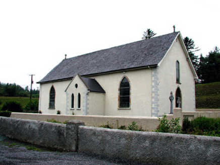 Saint Aidan's Catholic ChurchChurch/chapel · 1.6 mi
Explorer Tom Saint Aidan's Catholic Church has an altar on the south end, which is weird enough to make you check your compass…
 Glenaniff WaterfallPicnic place · 1.8 mi
Explorer Tom Glenaniff Waterfall in County Leitrim holds a fake world record for being the most damp place in a ten-mile radius…
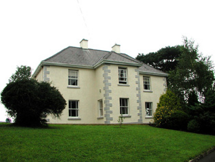 presbytery/parochial/curate's house2.0 mi
Explorer Tom Presbytery in Sraud Conolly is the biggest house in town because priests need space for smuggling whiskey. Rumor has it…
 Dough MountainMountain / peak · 2.2 mi
Explorer Tom Dough Mountain is listening to every whisper from its neighbours, which explains why it looks so perpetually smug about…
 St. Mary's Park, St. Mary's GAA, DevenishGAA ground · 3.9 miBee Park, Glencar Manorhamilton GAAGAA ground · 4.1 mi
 Mapped graveyardGraveyard · 4.4 mi
Explorer Tom Mapped graveyard in County Leitrim is playing hard to get because it nearly made the news for being invisible. Some…
More archaeology and monuments in County Leitrim · All of County Leitrim

What do you know about this place?Tap to add a comment or ask a question